Earthquake Northern Territory, Australia
Mon, 23 Feb 2026 19:39:37 GMT
Time3 months ago
Location
-13.4487, 129.8329
Depth
137.6 KM
Event Summary
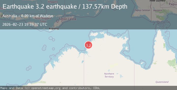
A 3.2 magnitude earthquake struck on Northern Territory, Australia, at Mon, 23 Feb 2026 19:39:37 GMT. Depth: 137.5732421875km. Reviewed by VYT seismologists, this minor quake occurred at a magnitude type of earthquake.
Magnitude
3.2
earthquake
Source
VYT
Intensity
-
Agency Reports
1 Sources| Source | Magnitude | Depth | Time |
|---|---|---|---|
| VYTPrimary | 3.2 | 138 km | 3 months ago |
Earthquake Details
AutomaticEvent IDvyt_hfb90ippzy4x
QualityB
Tsunami PotentialNo
Magnitude Typeearthquake
Last Update3 months ago
Total Stations24
Felt Reports0
Did you feel this earthquake? Report it to help others.
No reports yet
Be the first to report this earthquake!
Latest Earthquakes
Loading...
Nearby Earthquakes
2.6Mag
Northern Territory, Australia
Time3 weeks ago
Depth10.00 km
SourceVYT (Automatic)
3.2Mag
Northern Territory, Australia
Time1 month ago
Depth244.87 km
SourceVYT (Automatic)
2.8Mag
Northern Territory, Australia
Time1 month ago
Depth468.63 km
SourceVYT (Automatic)
2.8Mag
Northern Territory, Australia
Time2 months ago
Depth479.25 km
SourceVYT (Automatic)
4.6Mag
Northern Territory, Australia
Time2 months ago
Depth143.07 km
SourceVYT (Automatic)