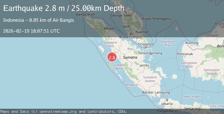
Earthquake southern Sumatra, Indonesia
Thu, 19 Feb 2026 18:07:51 GMT
Time1 hour ago
Location
-0.2283, 99.0804
Depth
23.7 KM
Event Summary
A 2.8 magnitude earthquake struck on southern Sumatra, Indonesia, at Thu, 19 Feb 2026 18:07:51 GMT. Depth: 23.681640625km. Reviewed by VYT seismologists, this minor quake occurred at a magnitude type of earthquake.
Magnitude
2.8
earthquake
Source
VYT
Intensity
-
Agency Reports
1 Sources| Source | Magnitude | Depth | Time |
|---|---|---|---|
| VYTPrimary | 2.8 | 24 km | 1 hour ago |
Earthquake Details
AutomaticEvent IDvyt_lcf8j886p0r
Tsunami PotentialNo
Magnitude Typeearthquake
Nearest Places
- Karang Drakes23.6 km
- Karang Anso30.7 km
- Karang West Pylades33.4 km
- Pulau Anso33.4 km
- Karang Sambulaling35.1 km
Comments
Join the discussion about this event.
Latest Earthquakes
3.1Mag
Sweden
Time1 hour ago
Depth0.00 km
SourceVYT (Automatic)
3.6Mag
Mindanao, Philippines
Time1 hour ago
Depth102.81 km
SourceBMKG
2.8Mag
Jujuy, Argentina
Time1 hour ago
Depth404.05 km
SourceVYT (Automatic)
2.8Mag
BHUTAN
Time1 hour ago
Depth234.60 km
SourceNDI (Automatic)
3.1Mag
Sulawesi, Indonesia
Time1 hour ago
Depth0.00 km
SourceVYT (Automatic)
Nearby Earthquakes
3.0Mag
SOUTHERN SUMATRA, INDONESIA
Time2 years ago
Depth13.00 km
SourceBMKG (Automatic)
3.0Mag
SOUTHERN SUMATRA, INDONESIA
Time2 years ago
Depth21.00 km
SourceBMKG (Automatic)
5.2Mag
SOUTHERN SUMATRA, INDONESIA
Time17 years ago
Depth60.00 km
SourceEMSC (Automatic)
5.0Mag
SOUTHERN SUMATRA, INDONESIA
Time16 years ago
Depth60.00 km
SourceEMSC (Automatic)
5.3Mag
SOUTHERN SUMATRA, INDONESIA
Time7 months ago
Depth63.60 km
SourceEMSC (Automatic)