Earthquake Timor region, Indonesia
Sun, 12 Apr 2026 07:52:42 GMT
Time1 hour ago
Location
-9.7561, 124.2689
Depth
0.0 KM
Event Summary
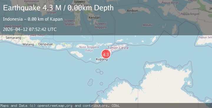
A 4.3 magnitude earthquake struck on Timor region, Indonesia, at Sun, 12 Apr 2026 07:52:42 GMT. Depth: 0km. Reviewed by VYT seismologists, this light quake occurred at a magnitude type of M.
Magnitude
4.3
M
Source
VYT
Intensity
V
Agency Reports
1 Sources| Source | Magnitude | Depth | Time |
|---|---|---|---|
| VYTPrimary | 4.3 | 0 km | 1 hour ago |
Earthquake Details
AutomaticEvent IDvyt_lqu88cl12d49
QualityC
Tsunami PotentialNo
Magnitude TypeM
Last Update1 hour ago
Used Stations10
Total Stations10
Nearest Places
Possibly felt by: 132.6K
- 2.4 km
- VSoe11.8 km40.2K people
- 13.8 km
- IVSiso13.9 km
- IVNeonmat15.0 km
- IVEban23.3 km
- IVNikiniki23.6 km
- IVPolen24.4 km
- IIIKie32.1 km
- IIINoemuti32.4 km
- IIITakari34.2 km
- IIILelogama34.9 km
- IIIOinlasi35.1 km
- IIIPanite35.2 km
- IIIOeekam35.4 km
- IIIKuanfatu35.6 km
- IIISasi37.7 km
- IIIKefamenanu41.4 km48.2K people
- IIIAyotupas48.5 km
- IIICamplong49.1 km
- IIIBiudukfoho54.2 km
- IIIOelamasi54.8 km
- IIINaisano Dua57.4 km2.3K people
- 63.1 km4.7K people
- IIBabau65.6 km
- IIOekabiti70.5 km
- IIBetun73.1 km
- IITarus76.2 km
- 83.5 km
- IIKupang85.9 km442.8K people
- IIOebobo86.5 km
- IIBatakte95.8 km
- 99.5 km82.2K people
- 106.0 km
- ISuai119.0 km21.5K people
- 134.6 km22K people
- 135.9 km
- 149.2 km
- 156.3 km
- 159.3 km
- 160.3 km12K people
Felt Reports0
Did you feel this earthquake? Report it to help others.
No reports yet
Be the first to report this earthquake!
Latest Earthquakes
Loading...
Nearby Earthquakes
2.4Mag
Timor Region
Time19 hours ago
Depth68.71 km
SourceBMKG
3.4Mag
Timor region, Indonesia
Time1 day ago
Depth0.00 km
SourceVYT (Automatic)
1.5Mag
Timor region, Indonesia
Time1 day ago
Depth0.12 km
SourceVYT (Automatic)
2.2Mag
Timor Region
Time2 days ago
Depth68.67 km
SourceBMKG
2.1Mag
Timor Region
Time2 days ago
Depth17.14 km
SourceBMKG