Earthquake Rota region, Northern Mariana Islands
Thu, 12 Feb 2026 10:30:15 GMT
Low Quality Data Warning
This earthquake may be wrong/incorrect, it is recommended not to spread this information because there is a possibility that further updates are needed for data accuracy.
Time1 month ago
Location
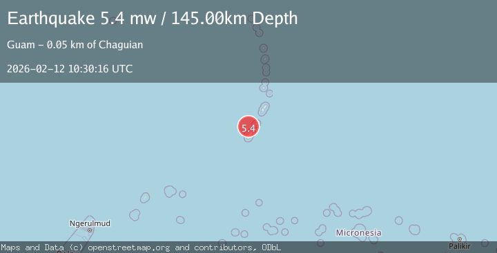
14.3226, 145.2156
Depth
194.9 KM
Event Summary
A 5.4 magnitude earthquake struck on Rota region, Northern Mariana Islands, at Thu, 12 Feb 2026 10:30:15 GMT. Depth: 194.9462890625km. Reviewed by VYT seismologists, this moderate quake occurred at a magnitude type of earthquake.
Magnitude
5.4
earthquake
Source
VYT
Intensity
II
Agency Reports
5 Sources| Source | Magnitude | Depth | Time |
|---|---|---|---|
| VYTPrimary | 5.4 | 195 km | 1 month ago |
| USGS | 5.5 | 152 km | 1 month ago |
| GFZ | 5.5 | 140 km | 1 month ago |
| NEIC | 5.4 | 149 km | 1 month ago |
| EMSC | 5.4 | 145 km | 1 month ago |
Earthquake Details
AutomaticEvent IDvyt_mzi67kqm3fw5
QualityD
Tsunami PotentialNo
Magnitude Typeearthquake
Last Update1 month ago
Total Stations50
Nearest Places
Possibly felt by: 55.9K
Felt Reports0
Did you feel this earthquake? Report it to help others.
No reports yet
Be the first to report this earthquake!
Latest Earthquakes
Loading...
Nearby Earthquakes
4.5Mag
GUAM REGION
Time20 hours ago
Depth93.10 km
SourceNEIC (Automatic)
4.5Mag
GUAM REGION
Time1 month ago
Depth69.70 km
SourceNEIC (Automatic)
4.1Mag
GUAM REGION
Time1 month ago
Depth193.70 km
SourceNEIC (Automatic)
4.3Mag
ROTA REGION, N. MARIANA ISLANDS
Time1 month ago
Depth129.80 km
SourceNEIC (Automatic)
4.4Mag
GUAM REGION
Time1 month ago
Depth131.00 km
SourceNEIC (Automatic)