Santorini
Greece
Last Update1 year ago
Elevation
367 m
Coordinates
36.4040, 25.3960
Status
Unrest
Level 2
Type
Shield(s)
About Santorini
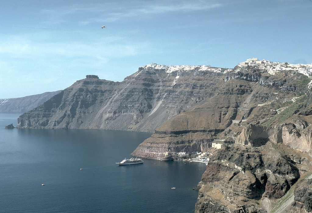
Santorini (Thera), in the Aegean Sea, has steep-walled caldera rim with villages that overlook an active volcanic island in the center of a caldera bay. The circular island group is composed of overlapping shield volcanoes cut by at least four partially overlapping calderas. The oldest southern caldera was formed about 180,000 years before present (BP), followed by the Skaros caldera about 70,000 BP, and then the Cape Riva caldera about 21,000 BP. The youngest caldera formed about 3,600 BP (around 1600 BCE) during the Late-Bronze-Age Minoan eruption that forced abandonment of the island. Post-Minoan eruptions beginning in 197 BCE constructed a series of lava domes and flows that form two islands near the center of the caldera. A submarine eruption took place in 1650 CE at Kolumbo, about 6.5 km NE of Thera. The latest eruption produced a small lava dome and flow in 1950, accompanied by explosive activity.
Volcano Status Guide
5
Danger
4
Eruption
3
Minor
2
Unrest
1
Normal