Kendang
Indonesia
Last Update1 year ago
Elevation
2594 m
Coordinates
-7.2450, 107.7090
Status
Unknown
Level 0
Type
Stratovolcano
About Kendang
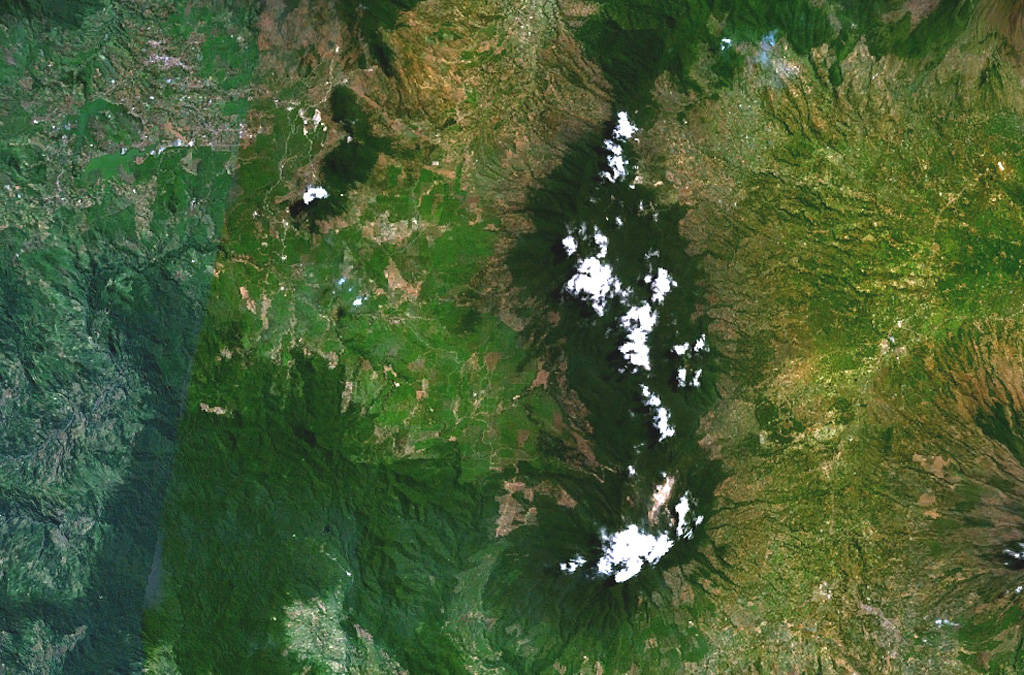
The Quaternary Gunung Kendang volcano (also spelled Kendeng) is located immediately north of Papandayan volcano. Kendang contains four fumarole fields, the most prominent of which is Kawah Manuk, located in a broad 2.75-km-wide crater-like depression. Thermal activity consists of fumaroles with sulfur sublimation, mud pots, and hot water pools with occasional mild water ejections. The Darajat geothermal field is located on the E flank and along the Kendang fault, which extends NE to the Kawah Kamojang geothermal field. The latest eruptions produced the very young Kiamis rhyolitic lava dome and obsidian lava flows. Gunung Kiamis was labeled as Recent on a map of Whittome and Salveson (1990) and is located 2 km NE of the Darajat geothermal field.
Volcano Status Guide
5
Danger
4
Eruption
3
Minor
2
Unrest
1
Normal