Agung
Indonesia
Last Update5 months ago
Elevation
2997 m
Coordinates
-8.3430, 115.5080
Status
Unrest
Level 2
Type
Stratovolcano
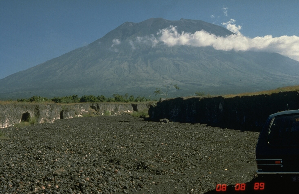
About Agung
Symmetrical Agung stratovolcano, Bali's highest and most sacred mountain, towers over the eastern end of the island. The volcano, whose name means "Paramount," rises above the SE rim of the Batur caldera, and the northern and southern flanks extend to the coast. The summit area extends 1.5 km E-W, with the high point on the W and a steep-walled 800-m-wide crater on the E. The Pawon cone is located low on the SE flank. Only a few eruptions dating back to the early 19th century have been recorded in historical time. The 1963-64 eruption, one of the largest in the 20th century, produced voluminous ashfall along with devastating pyroclastic flows and lahars that caused extensive damage and many fatalities.
Volcano Status Guide
5
Danger
4
Eruption
3
Minor
2
Unrest
1
Normal