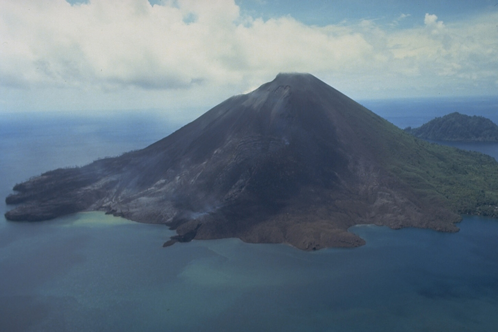
Banda Api
Indonesia
Last Update1 year ago
Elevation
596 m
Coordinates
-4.5230, 129.8810
Status
Normal
Level 1
Type
Caldera
About Banda Api
The 3-km-wide island of Banda Api is the northern-most volcano in the Banda arc and has a long period of recorded observation because of its key location in the Portuguese and Dutch spice trade. The basaltic-to-rhyodacitic volcano is located in the SW corner of a mostly submerged 7 km caldera. At least two episodes of caldera formation are thought to have occurred, with the arcuate islands of Lonthor and Neira considered to be pre-caldera remnants. A conical peak rises to about 600 m at the center of the island. Eruptions have been recorded since 1586 CE, mostly consisting of Strombolian eruptions from the summit crater, but larger explosive eruptions have occurred and occasional lava flows have reached the coast.
Volcano Status Guide
5
Danger
4
Eruption
3
Minor
2
Unrest
1
Normal