Ibu
Indonesia
Last Update1 year ago
Elevation
1325 m
Coordinates
1.4880, 127.6300
Status
Eruption
Level 4
Type
Stratovolcano
About Ibu
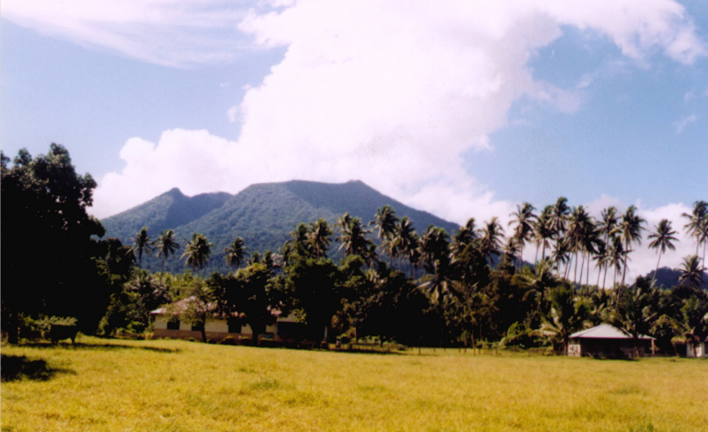
The truncated summit of Gunung Ibu stratovolcano along the NW coast of Halmahera Island has large nested summit craters. The inner crater, 1 km wide and 400 m deep, has contained several small crater lakes. The 1.2-km-wide outer crater is breached on the N, creating a steep-walled valley. A large cone grew ENE of the summit, and a smaller one to the WSW has fed a lava flow down the W flank. A group of maars is located below the N and W flanks. The first observed and recorded eruption was a small explosion from the summit crater in 1911. Eruptive activity began again in December 1998, producing a lava dome that eventually covered much of the floor of the inner summit crater along with ongoing explosive ash emissions.
Volcano Status Guide
5
Danger
4
Eruption
3
Minor
2
Unrest
1
Normal