Cagua
Philippines
Last Update1 year ago
Elevation
1133 m
Coordinates
18.2220, 122.1230
Status
Normal
Level 1
Type
Stratovolcano
About Cagua
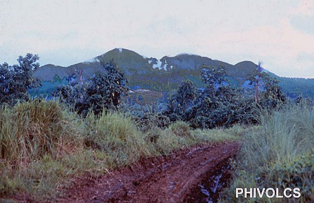
The Mount Cagua stratovolcano lies at the NE tip of Luzon. The circular summit crater is 1.5 km in diameter, with steep, 60-m-high walls. Basaltic-andesite and basaltic lava effusion characterized the initial stage of volcanism during the early Pleistocene. From about 600,000 to 300,000 years ago thick pyroclastic flows covered the entire volcano. Recent periods of phreatomagmatic activity have produced ash flows. The forested volcano is locally known as the "Mountain of Fire." A phreatic explosion in 1860 CE may have been accompanied by a pyroclastic flow. Strong solfataric activity occurred in 1907, and thermal areas are located near the summit crater and on the NW to NNE flanks.
Volcano Status Guide
5
Danger
4
Eruption
3
Minor
2
Unrest
1
Normal