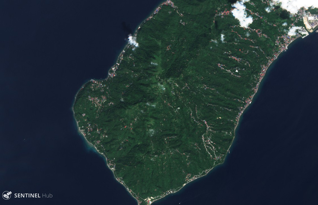
Panay
Philippines
Last Update3 months ago
Elevation
501 m
Coordinates
13.7230, 120.8930
Status
Unknown
Level 0
Type
Stratovolcano
About Panay
Mount Panay is a low andesitic stratovolcano on the Calumpang Peninsula west of the Batangas Bay, south of Lake Taal. Panay was mapped as Pleistocene in age by the Philippine Bureau of Mines (Wolf and Self, 1983), but displays strong solfataric activity. Batangas Bay lies at the intersection of two major regional trends, the Bataan Lineament and the Palawan-Macolod Lineament, and may represent a submarine caldera.
Volcano Status Guide
5
Danger
4
Eruption
3
Minor
2
Unrest
1
Normal