Yokoatejima
Japan
Last Update4 months ago
Elevation
495 m
Coordinates
28.7970, 128.9970
Status
Normal
Level 1
Type
Stratovolcano(es)
About Yokoatejima
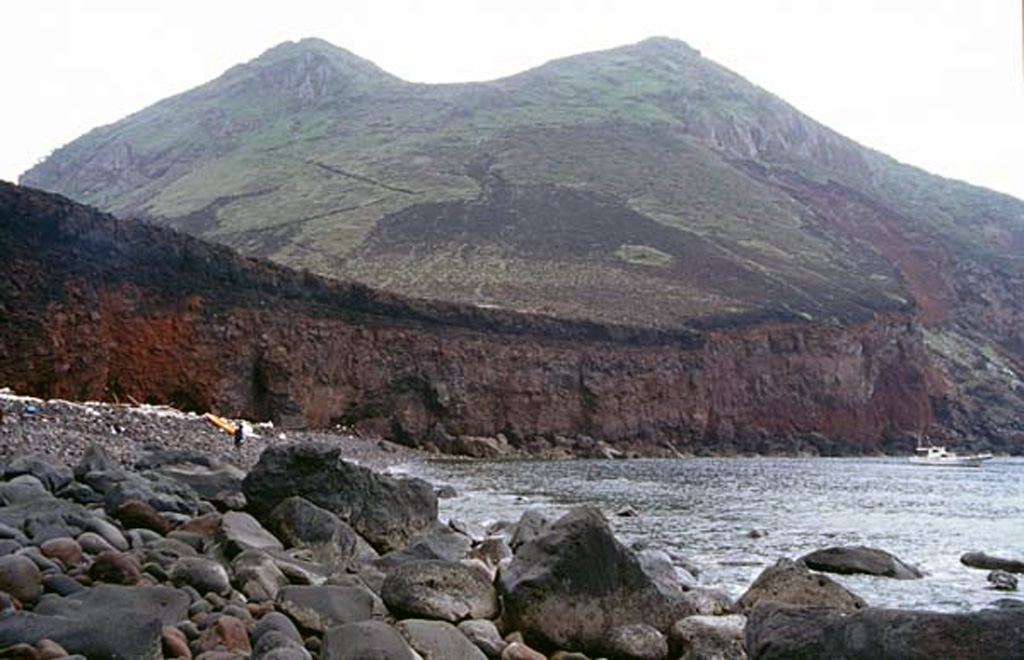
Yokoatejima is a small, 3.5-km-long, dumbbell-shaped island NW of Amami Oshima Island at the SW end of the Tokara island chain. Two peaks, Higashimine on the east and Nishimine on the west, form the andesitic island. Higashimine, the high point of the island, has a steep-walled, well-preserved summit crater. An arcuate ridge east of Yokoate-jima appears to be part of 7 x 10 km submarine caldera, with Yokoatejima and Kaminonejima to the NNE being post-caldera cones (Nakano et al., 2001-). Yokoatesho (Yokoate Reef) and Kaminone Kaikyu (Kaminone Knoll) lie to NNW and NE of Yokoatejima, respectively. Historical documents at the end of the Edo Period mention ash plumes from Yokoatejima.
Volcano Status Guide
5
Danger
4
Eruption
3
Minor
2
Unrest
1
Normal