Adatarayama
Japan
Last Update2 months ago
Elevation
1728 m
Coordinates
37.6470, 140.2810
Status
Normal
Level 1
Type
Stratovolcano(es)
About Adatarayama
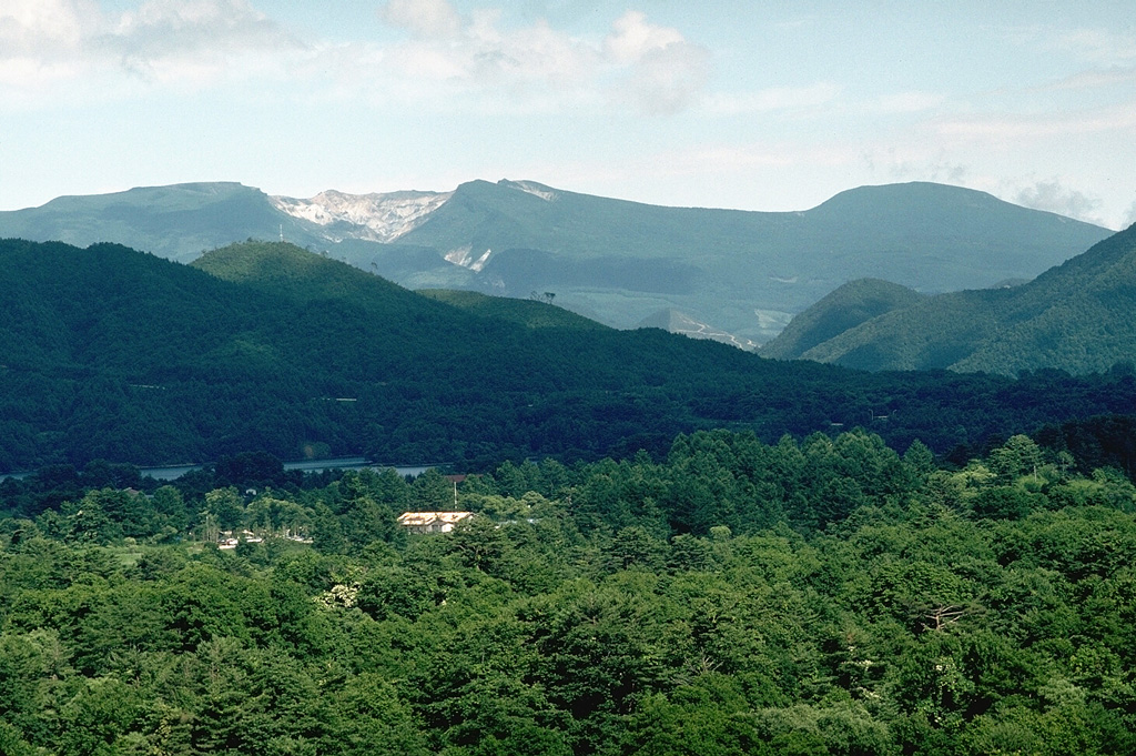
The broad forested massif of Adatarayama volcano is located E of Bandai volcano, about 15 km SW of Fukushima city. It consists of a group of dominantly andesitic stratovolcanoes and lava domes that rise above Tertiary rocks on the south and abut Azumayama volcano on the north. Construction took place in three main stages that began about 550,000, 350,000, and 200,000 years ago. The high point of the complex is 1728-m-high Minowasan, a dome-shaped stratovolcano north of Tetsuzan, the currently active stratovolcano. Numanotaira, the active summit crater, is surrounded by hot springs and fumaroles and is breached by the Iogawa river ("Sulfur River") on the west. Seventy-two workers of a sulfur mine in the summit crater were killed during an eruption in 1900. Historical eruptions have been restricted to the 1.2-km-wide, 350-m-deep Numonotaira crater.
Volcano Status Guide
5
Danger
4
Eruption
3
Minor
2
Unrest
1
Normal