Myojinsho
Japan
Last Update1 year ago
Elevation
11 m
Coordinates
31.8880, 139.9180
Status
Normal
Level 1
Type
Caldera
About Myojinsho
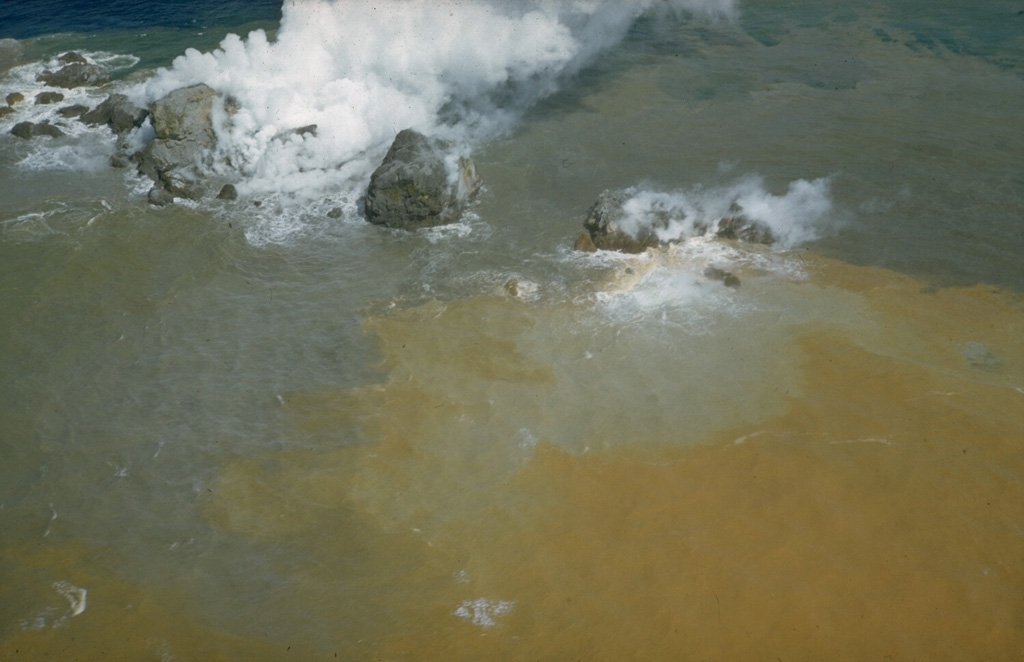
Beyonesu Rocks are part of the barely exposed rim of the largely submarine Myojinsho caldera. Formation of the 8-9 km wide caldera was followed by construction of a large (2.6 km3) lava dome and/or lava flow complex on the caldera floor, originally located at a depth of 1,000-1,100 m. Most eruptions recorded since the late-19th century have occurred from the dacitic post-caldera Myojinsho lava dome on the NE caldera rim. Deposits from submarine pyroclastic flows associated with growth of the dome cover it and extend both into the NE part of the caldera and down its outer slopes. An explosive submarine eruption from Myojinsho in 1952 destroyed a Japanese research vessel, killing all 31 on board. Submarine eruptions have also been observed from other points on the caldera rim and outside of the caldera. The Beyonesu Rocks were named after the French warship the Bayonnaise, which was surveying volcanic islands south of Tokyo Bay in 1850.
Volcano Status Guide
5
Danger
4
Eruption
3
Minor
2
Unrest
1
Normal