Azas Plateau
Russia
Last Update2 months ago
Elevation
2765 m
Coordinates
52.4330, 98.3030
Status
Normal
Level 1
Type
Volcanic field
About Azas Plateau
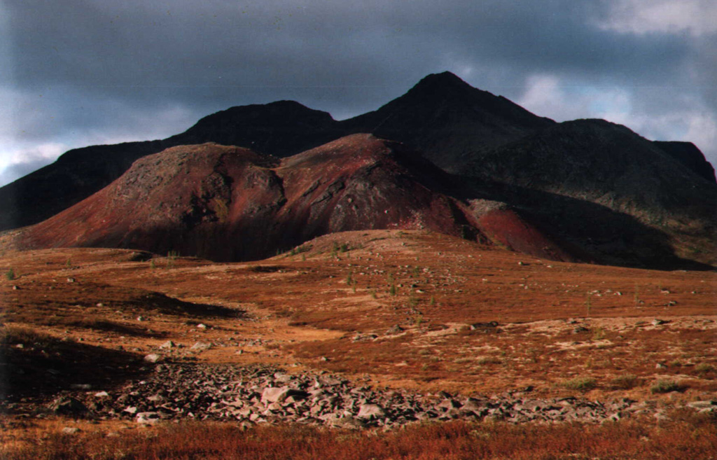
The Azas Plateau is a large volcanic field located west of the SW tip of Lake Baikal and north of the Mongolian border. The gently sloping plateau, also known as the East Tuva Plateau, the Northeast Tuva Plateau, or the Khamsara-Biykhem Plateau, covers an area of about 2,000 km2. Its glacially dissected surface is cut by broad valleys and contains several table-like mountains composed of hyaloclastites and lava flows, and has numerous small scoria cones. The Shivit-Tayga stratovolcano is one of the most prominent features of the plateau and is capped by two craters that once contained lava lakes. Derbi-Tayga is glacially eroded shield volcano. The surface of the Ulug-Arginsky cinder cone, initially considered to be Holocene, has large granitic erratics and was given a late-Pleistocene age by Hasenaka et al. (1999). Some valley filling basaltic flows are not glacially eroded and have a Holocene morphology. Well-preserved lava flows near the Bii-Hem River may be of Holocene age.
Volcano Status Guide
5
Danger
4
Eruption
3
Minor
2
Unrest
1
Normal