St. Michael
United States
Last Update2 months ago
Elevation
715 m
Coordinates
63.4500, -162.1200
Status
Normal
Level 1
Type
Volcanic field
About St. Michael
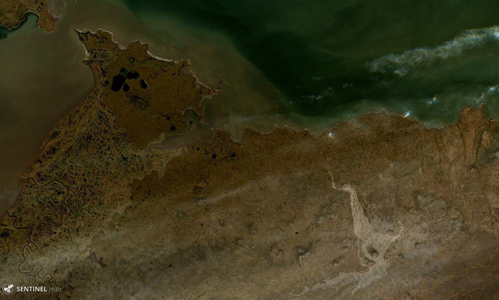
The St. Michael volcanic field, at the south end of Norton Sound, includes more than 55 cones and craters on St. Michael and Stuart islands. Broad low shield volcanoes underlie the younger cones, and maars are located at the SW part of the field, which covers over 3,000 km2 and extends inland along the Golsovia and Kogok rivers. The youngest activity is of Holocene age, and native tradition says that a village was submerged by lava three times (Dall, 1870).
Volcano Status Guide
5
Danger
4
Eruption
3
Minor
2
Unrest
1
Normal