Cinnamon Butte
United States
Last Update1 year ago
Elevation
1956 m
Coordinates
43.2410, -122.1080
Status
Normal
Level 1
Type
Pyroclastic cone(s)
About Cinnamon Butte
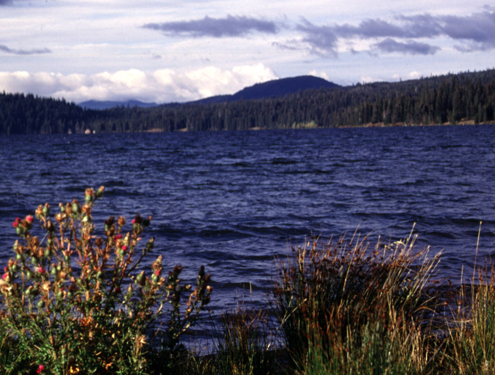
Cinnamon Butte, Thirsty Point, and Kelsay Point are forested cinder cones along a WNW-ESE line immediately west of the Cascade crest and NE of Diamond Lake. The cones have well-preserved summit craters, and lava flows appear to be unglaciated, suggesting they are younger than 11,000 years (Sherrod, 1991). Lava flows from Cinnamon Butte pass through gaps of late-Pleistocene moraines, although all three cones are mantled by, and thus older than, the roughly 6,845-year-old Mazama Ash associated with the formation of nearby Crater Lake caldera. Other cinder cones and a lava dome of Pleistocene age are located nearby, mostly west of the Cascade Range crest.
Volcano Status Guide
5
Danger
4
Eruption
3
Minor
2
Unrest
1
Normal