Silver Lake Volcanic Field
United States
Last Update3 months ago
Elevation
1535 m
Coordinates
40.7310, -121.8410
Status
Unknown
Level 0
Type
Volcanic field
About Silver Lake Volcanic Field
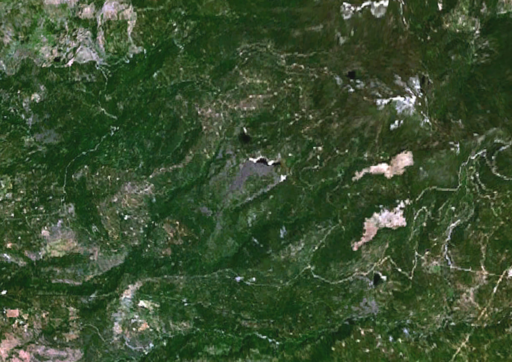
Lava flows from two isolated cinder cones in the Silver Lake Volcanic Field NW of Lassen Peak blocked drainages, forming three small lakes. The cones lie SW of Burney Mountain and WNW of MaGee Peak. Lava flows from the Silver Lake cinder cone formed Silver Lake to the NE, crescent-shaped Author Lake to the E, and traveled 3.5 km to the SW. The crater of Silver Lake cone is open to the SW. The flat-topped Buckhorn Lake cinder cone to the SE of Silver Lake dammed up Buckhorn Lake, NE of the cone, and produced a lava flow that traveled 3.5 km to the SW. The precise age of these basaltic cones is not known. Although they lie outside the area of glaciation at Lassen, they are considered to be of comparable to the 10,000-15,000 year age of other Lassen area cinder cones (Clynne, 2015, pers. comm.).
Volcano Status Guide
5
Danger
4
Eruption
3
Minor
2
Unrest
1
Normal