Salton Buttes
United States
Last Update5 months ago
Elevation
-40 m
Coordinates
33.1970, -115.6160
Status
Normal
Level 1
Type
Lava dome(s)
About Salton Buttes
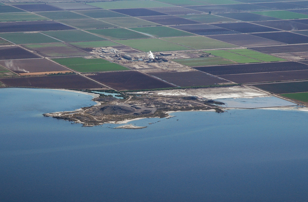
The Salton Buttes consist of five small rhyolitic lava domes extruded onto Quaternary sediments of the Colorado River delta at the SE margin of the Salton Sea. The age of the Salton Buttes has variously been considered to be late Pleistocene or early Holocene based on different dating techniques. Recent paleomagnetic dating calibrated by radiocarbon ages suggests that the Salton Buttes domes were erupted during an interval of about 500 years between about 2300 and 1800 years ago, with the possible exception of Mullet Island at the northern end of the field, which could be as much as 5000 years older. The present-day saline Salton Sea was formed in the early 20th century by unintended flooding into the basin formerly occupied by Pleistocene Lake Cahuilla Lake during diversion of the Colorado River for irrigation purposes. The Salton Sea geothermal field produces saline brines.
Volcano Status Guide
5
Danger
4
Eruption
3
Minor
2
Unrest
1
Normal