Yojoa, Lago
Honduras
Last Update2 months ago
Elevation
1060 m
Coordinates
14.9640, -87.9830
Status
Normal
Level 1
Type
Volcanic field
About Yojoa, Lago
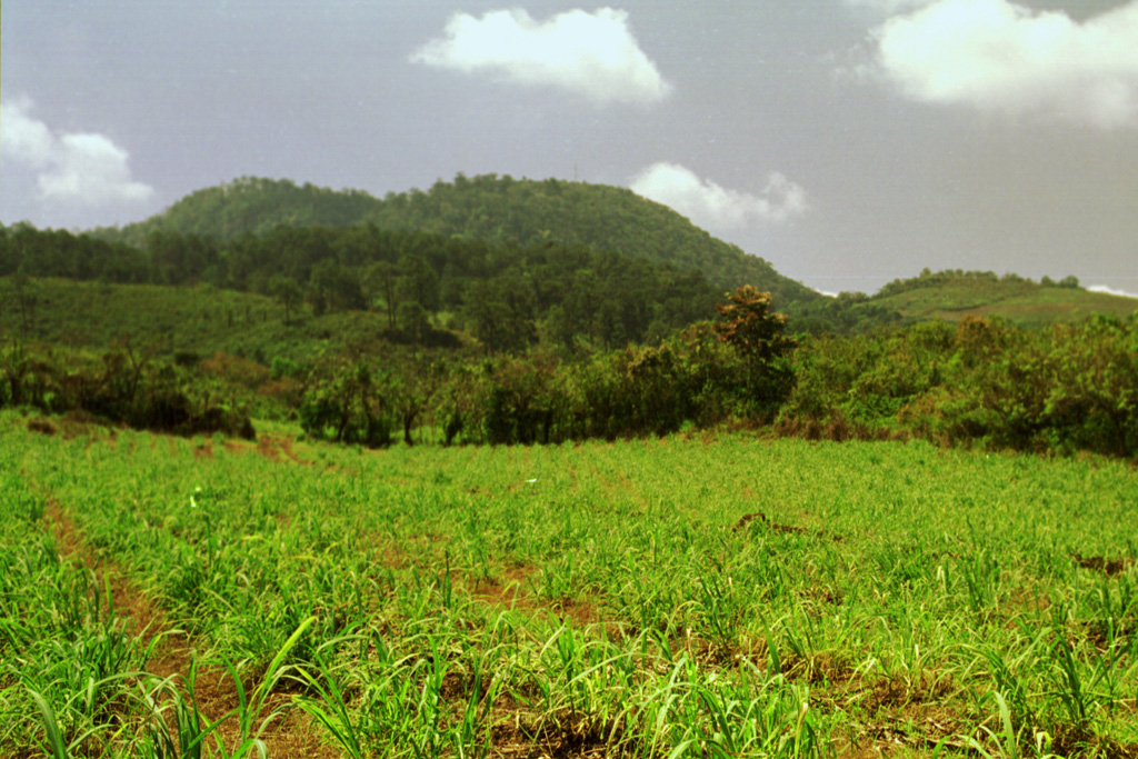
The Lago Yojoa volcanic field consists a group of Pleistocene-to-Holocene scoria cones and collapse pits (Williams and McBirney, 1969). The principal NE-trending chain of cones cuts through Cerro Babilonia, the high point of this field N of Lake Yojoa, along the same fault pattern that bounds the limestone mountains bordering the lake. Most of the pyroclastic cones, consisting of basaltic scoria and agglutinate, are 100-200 m high, and some contain craters. Lava flows radiate in all directions from the cones. The longest flow traveled N to the village of Río Lindo, where a waterfall cascades over the terminus of the flow. A few Quaternary lava flows occur in the Sulu graben along the Carretara del Norte N of Lake Yojoa. The rocks range from tholeiitic basalts to trachybasalts, trachyandesites, and trachytes. Two trachyandesitic tephra beds attributed to local eruptions and sampled by Mehringer et al. (2005) from cores within the volcanic field, were found to have fallen shortly before 11,000 and about 8,600 14C years BP.
Volcano Status Guide
5
Danger
4
Eruption
3
Minor
2
Unrest
1
Normal