Tacora
Chile-Peru
Last Update1 year ago
Elevation
5980 m
Coordinates
-17.7200, -69.7700
Status
Normal
Level 1
Type
Stratovolcano(es)
About Tacora
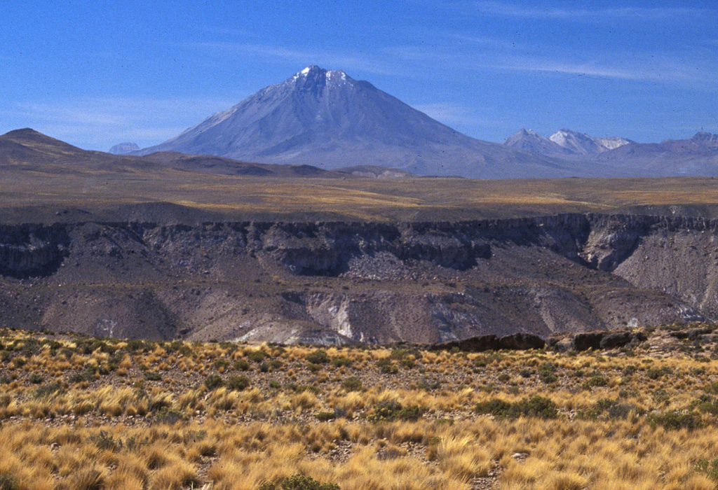
Tacora, the northernmost volcano of Chile, is a twin volcano with Chupiquiña to the north and lies near the Peruvian border. The andesitic volcano overlies a flat-lying platform of ignimbrites at about 4200 m elevation forming the Arica Altiplano. The roughly conical edifice is covered by glaciers down to about 5500 m elevation, and an explosion crater lies on the NW side 300 m below the summit. Solfataric and fumarolic activity has been reported on the east side (Catalog of Active Volcanoes of the World), but Moreno (1985 pers. comm.) indicated there may not have been Holocene eruptions. Young lava flows on the S flank appear to overlie glacial valleys (de Silva 2007, pers. comm.). Hantke (1939b) cited a report of eruptions in 1930 and 1937 that are not listed in other sources. Numerous sulfur mines occupy the saddle between Tacora and Chupiquiña, and hot springs are located on the eastern side of Tacora.
Volcano Status Guide
5
Danger
4
Eruption
3
Minor
2
Unrest
1
Normal