Flores
Portugal
Last Update1 year ago
Elevation
914 m
Coordinates
39.4620, -31.2160
Status
Unknown
Level 0
Type
Stratovolcano(es)
About Flores
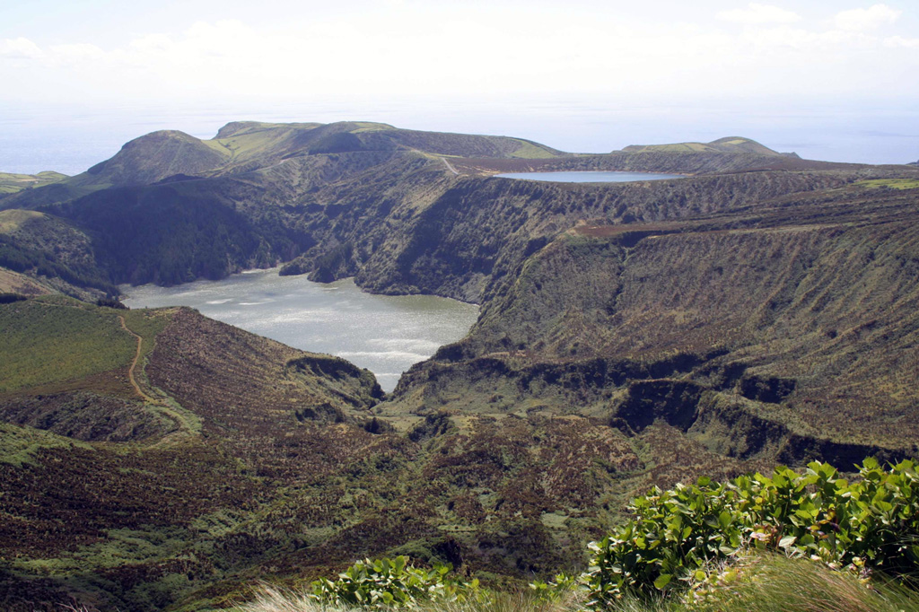
Flores Island and Corvo Island to its north are located over 200 km W of the other Azores islands, west of the Mid-Atlantic Ridge. Growth of an initially submarine volcano included Pleistocene explosive activity associated with formation of small calderas. The 12 x 17 km island of Flores contains numerous cones and craters. Following a long period of quiescence beginning about 200,000 years ago, several phreatomagmatic craters and associated lava flows erupted during the Holocene. The Caldeira Funda de Lajes tuff ring formed about 3,150 years ago, accompanied by a lava flow that reached the SE coast at Lajes. The Caldeira Comprida tuff ring in Caldeira Seca, west-central Flores, erupted about 2,900 years ago and produced a lava flow that traveled NW to the coast at Faja Grande.
Volcano Status Guide
5
Danger
4
Eruption
3
Minor
2
Unrest
1
Normal