Sangay
FVXX25 at 04:13 UTC, 29/09/26 from KNES
VA ADVISORY
DTG: 20260929/0410Z

VAAC: WASHINGTON

VOLCANO: SANGAY 352090
PSN: S0200 W07820

AREA: ECUADOR

SOURCE ELEV: 17342 FT AMSL

ADVISORY NR: 2026/624

INFO SOURCE: GOES-19. NWP MODELS.

ERUPTION DETAILS: ONGOING VA EMS

OBS VA DTG: 29/0350Z

OBS VA CLD: SFC/FL200 S0157 W07831 - S0159 W07820
- S0200 W07820 - S0202 W07831 - S0157 W07831 MOV
W 10KT

FCST VA CLD +6HR: 29/1000Z SFC/FL200 S0159 W07820
- S0201 W07820 - S0208 W07830 - S0202 W07833 -
S0159 W07820

FCST VA CLD +12HR: 29/1600Z SFC/FL200 S0200
W07820 - S0200 W07820 - S0208 W07830 - S0202
W07833 - S0200 W07820

FCST VA CLD +18HR: 29/2200Z SFC/FL200 S0200
W07820 - S0201 W07820 - S0208 W07830 - S0202
W07833 - S0200 W07820

RMK: VA DETECTED ON STLT MOVG OF SUMMIT. HOTSPOT
ON SWIR. MDL WINDS FCST TO BACK NXT 6 HR BECMG
MORE FM THE ENE. ...KONON

NXT ADVISORY: WILL BE ISSUED BY 20260929/1015Z
Sangay
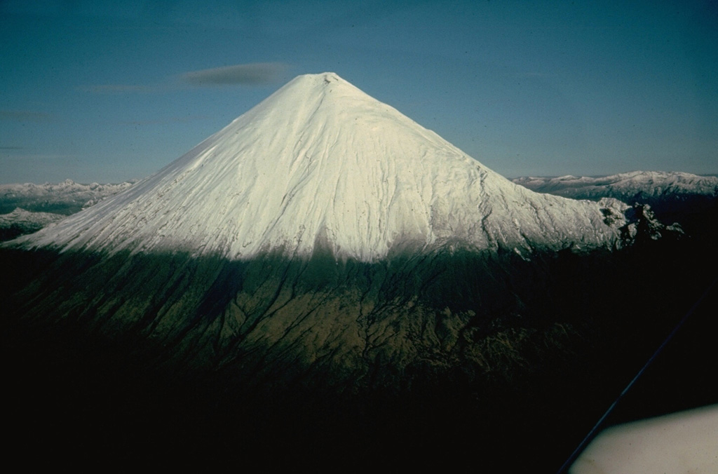
The isolated Sangay volcano, located east of the Andean crest, is the southernmost of Ecuador's volcanoes and its most active. The steep-sided, glacier-covered, dominantly andesitic volcano grew within the open calderas of two previous edifices which were destroyed by collapse to the east, producing large debris avalanches that reached the Amazonian lowlands. The modern edifice dates back to at least 14,000 years ago. It towers above the tropical jungle on the east side; on the other sides flat plains of ash have been eroded by heavy rains into steep-walled canyons up to 600 m deep. The earliest report of an eruption was in 1628. Almost continuous eruptions were reported from 1728 until 1916, and again from 1934 to the present. The almost constant activity has caused frequent changes to the morphology of the summit crater complex.
View Full Volcano Details