Popocatepetl
FVXX25 at 18:40 UTC, 15/07/26 from KNES
VA ADVISORY
DTG: 20260715/1836Z

VAAC: WASHINGTON

VOLCANO: POPOCATEPETL 341090
PSN: N1901 W09837

AREA: MEXICO

SOURCE ELEV: 17693 FT AMSL

ADVISORY NR: 2026/281

INFO SOURCE: GOES-19. NWP MODELS.

ERUPTION DETAILS: NO FURTHER VA EMISSIONS

OBS VA DTG: 15/1821Z

OBS VA CLD: VA NOT IDENTIFIABLE FROM SATELLITE
DATA.

FCST VA CLD +6HR: 16/0030Z NO VA EXP

FCST VA CLD +12HR: 16/0630Z NO VA EXP

FCST VA CLD +18HR: 16/1230Z NO VA EXP

RMK: VA EMISSIONS NOT OBSERVED IN WEBCAM OR IN
SATELLITE IMAGERY AND NO NEW REPORTS OF VA
RECEIVED.  ...LINER

NXT ADVISORY:  NO FURTHER ADVISORIES
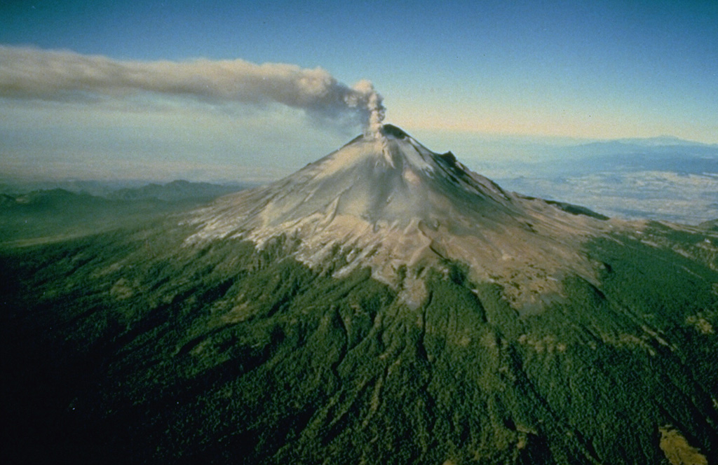
Popocatepetl
Volcán Popocatépetl, whose name is the Aztec word for smoking mountain, rises 70 km SE of Mexico City to form North America's 2nd-highest volcano. The glacier-clad stratovolcano contains a steep-walled, 400 x 600 m wide crater. The generally symmetrical volcano is modified by the sharp-peaked Ventorrillo on the NW, a remnant of an earlier volcano. At least three previous major cones were destroyed by gravitational failure during the Pleistocene, producing massive debris-avalanche deposits covering broad areas to the south. The modern volcano was constructed south of the late-Pleistocene to Holocene El Fraile cone. Three major Plinian eruptions, the most recent of which took place about 800 CE, have occurred since the mid-Holocene, accompanied by pyroclastic flows and voluminous lahars that swept basins below the volcano. Frequent historical eruptions, first recorded in Aztec codices, have occurred since Pre-Columbian time.
View Full Volcano Details