Semeru
FVAU02 at 04:50 UTC, 06/05/26 from ADRM
VA ADVISORY
DTG: 20260506/0450Z
VAAC: DARWIN
VOLCANO: SEMERU 263300
PSN: S0806 E11255
AREA: INDONESIA
SOURCE ELEV: 3657M AMSL
ADVISORY NR: 2026/514
INFO SOURCE: CVGHM, HIMAWARI-9, WEBCAM
ERUPTION DETAILS: VA OBS FROM GROUND 05/2312Z
EST VA DTG: 06/0430Z
EST VA CLD: SFC/FL150 S0813 E11253 - S0740 E11215 - S0716
        E11255 - S0807 E11304 MOV NW 05KT
FCST VA CLD +6 HR: 06/1030Z SFC/FL150 S0811 E11252 - S0739
        E11216 - S0724 E11259 - S0807 E11303
FCST VA CLD +12 HR: 06/1630Z SFC/FL150 S0810 E11302 - S0813
        E11250 - S0736 E11224 - S0730 E11305
FCST VA CLD +18 HR: 06/2230Z SFC/FL150 S0815 E11253 - S0800
        E11225 - S0740 E11236 - S0738 E11305 - S0807 E11308
RMK: VA UNIDENTIFIABLE ON LATEST SATELLITE IMAGERY DUE TO
        MET CLOUD. RECENT GROUND REPORTS AND WEBCAM IMAGERY INDICATE
        DISCRETE VA EMISSIONS ARE ONGOING. HEIGHT AND MOVEMENT BASED
        ON SATELLITE IMAGERY, GROUND REPORTS AND MODEL GUIDANCE.
NXT ADVISORY: NO LATER THAN 20260506/1050Z=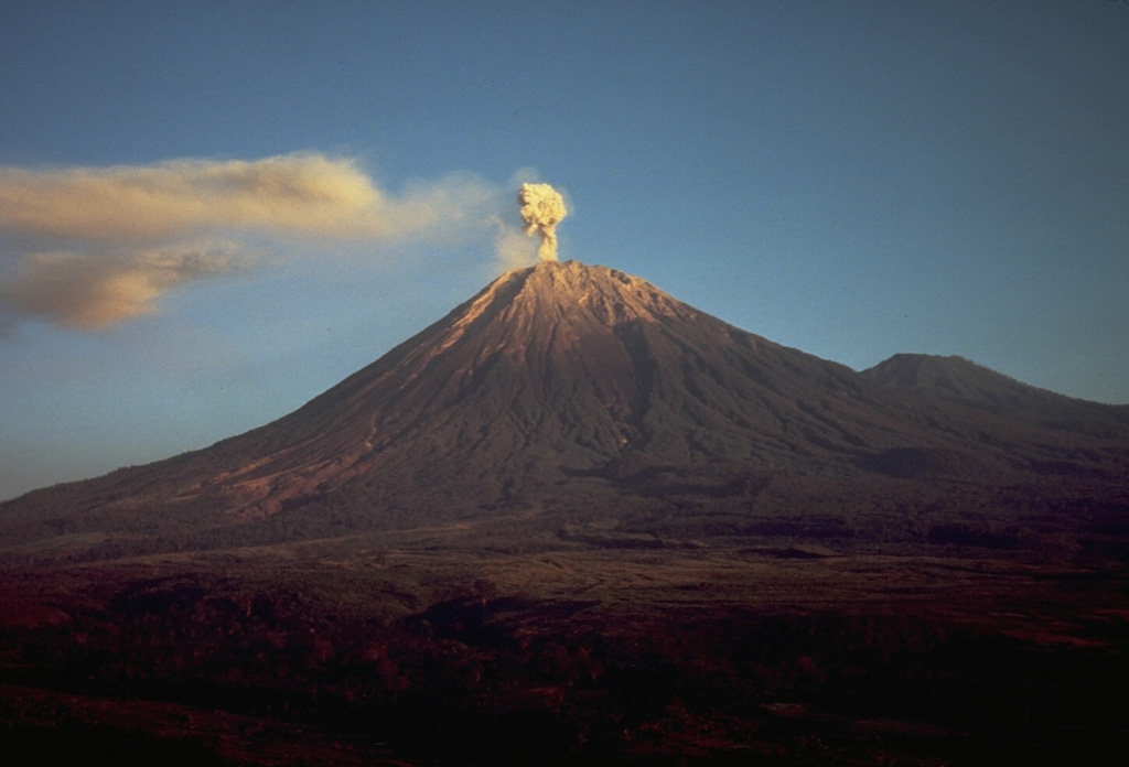
Semeru
Semeru, the highest volcano on Java, and one of its most active, lies at the southern end of a volcanic massif extending north to the Tengger caldera. The steep-sided volcano, also referred to as Mahameru (Great Mountain), rises above coastal plains to the south. Gunung Semeru was constructed south of the overlapping Ajek-ajek and Jambangan calderas. A line of lake-filled maars was constructed along a N-S trend cutting through the summit, and cinder cones and lava domes occupy the eastern and NE flanks. Summit topography is complicated by the shifting of craters from NW to SE. Frequent 19th and 20th century eruptions were dominated by small-to-moderate explosions from the summit crater, with occasional lava flows and larger explosive eruptions accompanied by pyroclastic flows that have reached the lower flanks of the volcano.
View Full Volcano Details