Earthquake Near North Coast of West Papua
Thu, 01 Jan 2026 04:02:40 GMT
Time1 hour ago
Location
-1.6527, 139.4877
Depth
10.0 KM
Event Summary
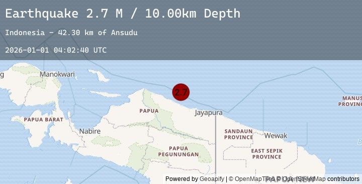
A 2.7 magnitude earthquake struck on Near North Coast of West Papua, at Thu, 01 Jan 2026 04:02:40 GMT. Depth: 10km. Reviewed by BMKG seismologists, this minor quake occurred at a magnitude type of M.
Magnitude
2.7
M
Source
BMKG
Intensity
-
Earthquake Details
AutomaticEvent IDbmg2026aaia
Tsunami PotentialNo
Magnitude TypeM
Nearest Places
- Ansudu42.3 km
- Pulau Yamna45.5 km
- Pulau Mademo49.8 km
- Pulau Yarsun51.6 km
- Pulau Podena51.8 km
Comments
Join the discussion about this event.
Latest Earthquakes
3.0Mag
WESTERN TURKEY
Time2 hours ago
Depth8.30 km
SourceEMSC (Automatic)
1.3Mag
16 km WSW of Ludlow, CA
Time2 hours ago
Depth2.43 km
SourceUSGS (Automatic)
1.6Mag
SPAIN
Time2 hours ago
Depth11.30 km
SourceEMSC (Automatic)
2.2Mag
Near North Coast of West Papua
Time2 hours ago
Depth21.49 km
SourceBMKG (Automatic)
2.0Mag
2 km N of The Geysers, CA
Time2 hours ago
Depth0.80 km
SourceUSGS (Automatic)
Nearby Earthquakes
No significant earthquakes nearby recently.