Earthquake Sumba Region, Indonesia
Thu, 01 Jan 2026 12:12:36 GMT
Time1 hour ago
Location
-9.4794, 119.1713
Depth
44.8 KM
Event Summary
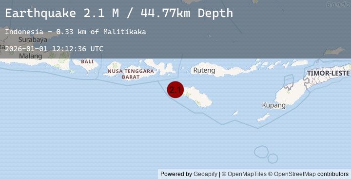
A 2.1 magnitude earthquake struck on Sumba Region, Indonesia, at Thu, 01 Jan 2026 12:12:36 GMT. Depth: 44.767727km. Reviewed by BMKG seismologists, this minor quake occurred at a magnitude type of M.
Magnitude
2.1
M
Source
BMKG
Intensity
-
Earthquake Details
AutomaticEvent IDbmg2026aaye
Tsunami PotentialNo
Magnitude TypeM
Nearest Places
- Malitikaka0.3 km
- Gadilete0.5 km
- Bondoalo0.6 km
- Puumaliti0.7 km
- Weetobula0.9 km
Comments
Join the discussion about this event.
Latest Earthquakes
2.2Mag
NORTHERN CALIFORNIA
Time1 hour ago
Depth0.40 km
SourceEMSC (Automatic)
2.2Mag
5 km NW of The Geysers, CA
Time1 hour ago
Depth0.43 km
SourceUSGS (Automatic)
2.3Mag
Southern Sumatra, Indonesia
Time1 hour ago
Depth95.09 km
SourceBMKG (Automatic)
3.2Mag
Seram, Indonesia
Time1 hour ago
Depth2.61 km
SourceBMKG (Automatic)
3.5Mag
CERAM SEA, INDONESIA
Time1 hour ago
Depth3.00 km
SourceEMSC (Automatic)
Nearby Earthquakes
2.7Mag
SUMBAWA REGION, INDONESIA
Time5 hours ago
Depth114.00 km
SourceEMSC (Automatic)
2.7Mag
Sumbawa Region, Indonesia
Time5 hours ago
Depth114.29 km
SourceBMKG (Automatic)
2.4Mag
Sumba Region, Indonesia
Time16 hours ago
Depth26.25 km
SourceBMKG (Automatic)
2.8Mag
SUMBA REGION, INDONESIA
Time16 hours ago
Depth29.00 km
SourceEMSC (Automatic)
2.3Mag
Sumba Region, Indonesia
Time18 hours ago
Depth16.73 km
SourceBMKG (Automatic)