Earthquake Northern Sumatra, Indonesia
Thu, 01 Jan 2026 13:10:07 GMT
Time1 hour ago
Location
3.5920, 97.5805
Depth
117.5 KM
Event Summary
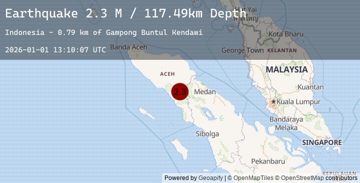
A 2.3 magnitude earthquake struck on Northern Sumatra, Indonesia, at Thu, 01 Jan 2026 13:10:07 GMT. Depth: 117.492203km. Reviewed by BMKG seismologists, this minor quake occurred at a magnitude type of M.
Magnitude
2.3
M
Source
BMKG
Intensity
-
Earthquake Details
AutomaticEvent IDbmg2026abab
Tsunami PotentialNo
Magnitude TypeM
Nearest Places
- Gampong Buntul Kendawi0.8 km
- Gampong Darul Makmur1.6 km
- Terutung Kute4.6 km
- Gampong Bintang Bener5.7 km
- Gampong Lawe Pinis5.9 km
Comments
Join the discussion about this event.
Latest Earthquakes
3.1Mag
Flores Sea
Time1 hour ago
Depth33.31 km
SourceBMKG (Automatic)
2.3Mag
29 km NNE of Skwentna, Alaska
Time1 hour ago
Depth77.90 km
SourceUSGS (Automatic)
2.2Mag
24 km SW of Anchor Point, Alaska
Time1 hour ago
Depth62.20 km
SourceUSGS (Automatic)
1.4Mag
WESTERN TURKEY
Time1 hour ago
Depth11.30 km
SourceEMSC (Automatic)
3.8Mag
SOUTHERN YUKON TERRITORY, CANADA
Time1 hour ago
Depth1.90 km
SourceEMSC (Automatic)
Nearby Earthquakes
2.6Mag
NORTHERN SUMATRA, INDONESIA
Time17 hours ago
Depth123.00 km
SourceEMSC (Automatic)
2.4Mag
Northern Sumatra, Indonesia
Time17 hours ago
Depth114.66 km
SourceBMKG (Automatic)
2.5Mag
NORTHERN SUMATRA, INDONESIA
Time18 hours ago
Depth29.00 km
SourceEMSC (Automatic)
2.4Mag
Northern Sumatra, Indonesia
Time18 hours ago
Depth28.93 km
SourceBMKG (Automatic)