Earthquake Northern Sumatra, Indonesia
Thu, 01 Jan 2026 20:53:36 GMT
Time2 hours ago
Location
4.1056, 97.4419
Depth
3.0 KM
Event Summary
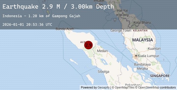
A 2.9 magnitude earthquake struck on Northern Sumatra, Indonesia, at Thu, 01 Jan 2026 20:53:36 GMT. Depth: 3km. Reviewed by BMKG seismologists, this minor quake occurred at a magnitude type of M.
Magnitude
2.9
M
Source
BMKG
Intensity
-
Agency Reports
1 Sources| Source | Magnitude | Depth | Time |
|---|---|---|---|
| BMKGPrimary | 2.9 | 3 km | 2 hours ago |
Earthquake Details
AutomaticEvent IDbmg2026abpj
Tsunami PotentialNo
Magnitude TypeM
Nearest Places
- Gampong Gajah1.2 km
- Waih Gajah3.1 km
- Gajah4.9 km
- Burni Apitan5.0 km
- Wai Tebing5.1 km
Comments
Join the discussion about this event.
Latest Earthquakes
2.1Mag
Bali Region, Indonesia
Time2 hours ago
Depth10.00 km
SourceBMKG (Automatic)
1.8Mag
58 km WSW of Alamo, Nevada
Time2 hours ago
Depth0.32 km
SourceUSGS (Automatic)
2.6Mag
Java, Indonesia
Time2 hours ago
Depth71.58 km
SourceBMKG (Automatic)
1.1Mag
1 km E of Cabazon, CA
Time2 hours ago
Depth17.70 km
SourceUSGS (Automatic)
1.9Mag
31 km WSW of Kahaluu-Keauhou, Hawaii
Time2 hours ago
Depth11.59 km
SourceUSGS (Automatic)