Earthquake Southern Molucca Sea
Fri, 02 Jan 2026 13:07:09 GMT
Time2 hours ago
Location
-0.2047, 125.4172
Depth
10.0 KM
Event Summary
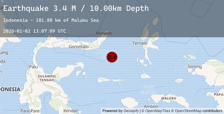
A 3.4 magnitude earthquake struck on Southern Molucca Sea, at Fri, 02 Jan 2026 13:07:09 GMT. Depth: 10km. Reviewed by BMKG seismologists, this minor quake occurred at a magnitude type of M.
Magnitude
3.4
M
Source
BMKG
Intensity
-
Agency Reports
1 Sources| Source | Magnitude | Depth | Time |
|---|---|---|---|
| BMKGPrimary | 3.4 | 10 km | 2 hours ago |
Earthquake Details
AutomaticEvent IDbmg2026acvm
Tsunami PotentialNo
Magnitude TypeM
Nearest Places
- Maluku Sea101.7 km
- Batu Mandi124.4 km
- Tanjung Flesko125.7 km
- Tanjung Palureoi126.0 km
- Tanjung Payongan126.7 km
Comments
Join the discussion about this event.
Latest Earthquakes
2.2Mag
WESTERN TEXAS
Time2 hours ago
Depth4.20 km
SourceTX (Automatic)
1.2Mag
4 km N of Mira Loma, CA
Time2 hours ago
Depth15.11 km
SourceUSGS (Automatic)
2.0Mag
Sulawesi, Indonesia
Time2 hours ago
Depth4.38 km
SourceBMKG (Automatic)
2.7Mag
MENDOZA, ARGENTINA
Time2 hours ago
Depth10.00 km
SourceNSNA (Automatic)
2.1Mag
Flores Region, Indonesia
Time2 hours ago
Depth11.38 km
SourceBMKG (Automatic)
Nearby Earthquakes
No significant earthquakes nearby recently.