Earthquake 4 km N of Mira Loma, CA
Fri, 02 Jan 2026 12:56:54 GMT
Time2 hours ago
Location
34.0255, -117.5228
Depth
15.1 KM
Event Summary
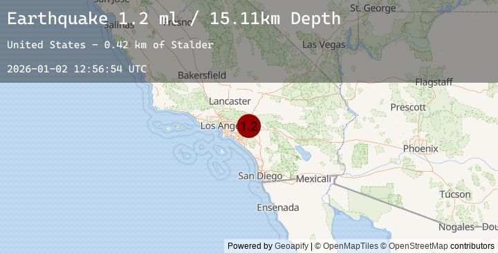
A 1.2 magnitude earthquake struck on 4 km N of Mira Loma, CA, at Fri, 02 Jan 2026 12:56:54 GMT. Depth: 15.11km. Reviewed by USGS seismologists, this minor quake occurred at a magnitude type of ml.
Magnitude
1.2
ml
Source
USGS
Intensity
-
Agency Reports
1 Sources| Source | Magnitude | Depth | Time |
|---|---|---|---|
| USGSPrimary | 1.2 | 15 km | 2 hours ago |
Earthquake Details
AutomaticEvent IDusgs_ci41150999
Tsunami PotentialNo
Magnitude Typeml
Nearest Places
Comments
Join the discussion about this event.
Latest Earthquakes
2.4Mag
Java, Indonesia
Time6 minutes ago
Depth111.88 km
SourceBMKG (Automatic)
2.5Mag
38 km SE of Nelchina, Alaska
Time22 minutes ago
Depth12.10 km
SourceUSGS (Automatic)
2.2Mag
AZORES ISLANDS, PORTUGAL
Time23 minutes ago
Depth8.70 km
SourceIPMA (Automatic)
2.2Mag
54 km S of Manley Hot Springs, Alaska
Time27 minutes ago
Depth3.70 km
SourceUSGS (Automatic)
2.4Mag
Java, Indonesia
Time31 minutes ago
Depth82.46 km
SourceBMKG (Automatic)
Nearby Earthquakes
1.0Mag
9 km SW of Idyllwild, CA
Time4 hours ago
Depth18.22 km
SourceUSGS (Automatic)
2.1Mag
SOUTHERN CALIFORNIA
Time7 hours ago
Depth16.80 km
SourceSCSN (Automatic)
0.9Mag
2 km ENE of San Fernando, CA
Time8 hours ago
Depth6.61 km
SourceUSGS (Automatic)
1.0Mag
3 km SSW of Redlands, CA
Time11 hours ago
Depth11.13 km
SourceUSGS (Automatic)
1.1Mag
5 km SW of Palomar Observatory, CA
Time12 hours ago
Depth18.39 km
SourceUSGS (Automatic)