Earthquake Minahassa Peninsula, Sulawesi
Fri, 02 Jan 2026 13:46:02 GMT
Time2 hours ago
Location
-0.5349, 123.5342
Depth
9.4 KM
Event Summary
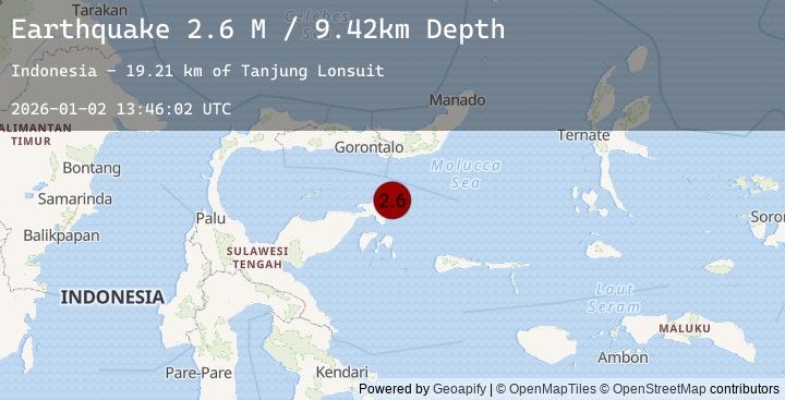
A 2.6 magnitude earthquake struck on Minahassa Peninsula, Sulawesi, at Fri, 02 Jan 2026 13:46:02 GMT. Depth: 9.424043km. Reviewed by BMKG seismologists, this minor quake occurred at a magnitude type of M.
Magnitude
2.6
M
Source
BMKG
Intensity
-
Agency Reports
1 Sources| Source | Magnitude | Depth | Time |
|---|---|---|---|
| BMKGPrimary | 2.6 | 9 km | 2 hours ago |
Earthquake Details
AutomaticEvent IDbmg2026acwt
Tsunami PotentialNo
Magnitude TypeM
Nearest Places
- Tanjung Lonsuit19.2 km
- Tanjung Lonsom19.7 km
- Pulau Kosamba20.7 km
- Teluk Pangkalaseang21.2 km
- Pulau Toosan21.6 km
Comments
Join the discussion about this event.
Latest Earthquakes
2.2Mag
Sumbawa Region, Indonesia
Time2 hours ago
Depth23.77 km
SourceBMKG (Automatic)
2.3Mag
Minahassa Peninsula, Sulawesi
Time2 hours ago
Depth1.60 km
SourceBMKG (Automatic)
3.7Mag
OFF COAST OF NORTHERN PERU
Time2 hours ago
Depth43.00 km
SourceLIM (Automatic)
3.5Mag
Southern Molucca Sea
Time2 hours ago
Depth10.00 km
SourceBMKG (Automatic)
2.3Mag
WESTERN TEXAS
Time2 hours ago
Depth7.30 km
SourceTX (Automatic)