Earthquake Bali Sea
Fri, 02 Jan 2026 17:39:04 GMT
Time5 hours ago
Location
-7.9663, 117.7164
Depth
11.1 KM
Event Summary
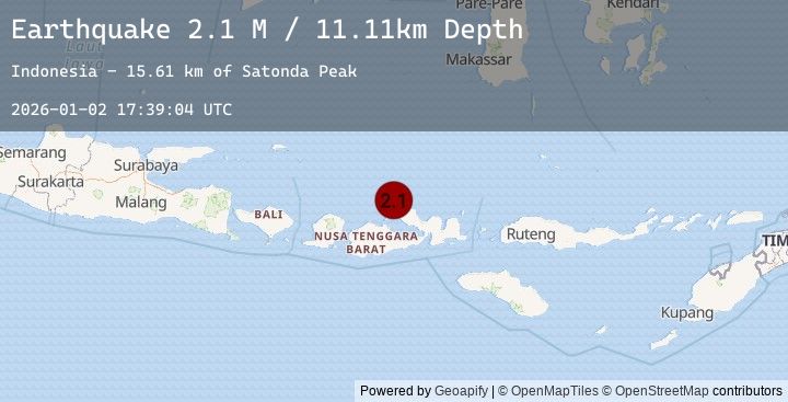
A 2.1 magnitude earthquake struck on Bali Sea, at Fri, 02 Jan 2026 17:39:04 GMT. Depth: 11.105489km. Reviewed by BMKG seismologists, this minor quake occurred at a magnitude type of M.
Magnitude
2.1
M
Source
BMKG
Intensity
-
Agency Reports
1 Sources| Source | Magnitude | Depth | Time |
|---|---|---|---|
| BMKGPrimary | 2.1 | 11 km | 5 hours ago |
Earthquake Details
AutomaticEvent IDbmg2026adel
Tsunami PotentialNo
Magnitude TypeM
Nearest Places
- Satonda Peak15.6 km
- Pulau Satonda16.2 km
- Ndano Satonda16.5 km
- Teluk Nanganae19.9 km
- Labuhankananga20.1 km
Comments
Join the discussion about this event.
Latest Earthquakes
1.8Mag
4 km ESE of San Ramon, CA
Time5 hours ago
Depth0.91 km
SourceUSGS (Automatic)
2.4Mag
Seram, Indonesia
Time5 hours ago
Depth1.89 km
SourceBMKG (Automatic)
2.8Mag
South of Sumbawa, Indonesia
Time6 hours ago
Depth10.00 km
SourceBMKG (Automatic)
2.2Mag
Minahassa Peninsula, Sulawesi
Time6 hours ago
Depth148.28 km
SourceBMKG (Automatic)
2.2Mag
West Papua Region, Indonesia
Time6 hours ago
Depth10.00 km
SourceBMKG (Automatic)