Earthquake Southern Sumatra, Indonesia
Fri, 02 Jan 2026 20:05:36 GMT
Time1 hour ago
Location
-2.9557, 101.0859
Depth
28.7 KM
Event Summary
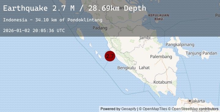
A 2.7 magnitude earthquake struck on Southern Sumatra, Indonesia, at Fri, 02 Jan 2026 20:05:36 GMT. Depth: 28.685482km. Reviewed by BMKG seismologists, this minor quake occurred at a magnitude type of M.
Magnitude
2.7
M
Source
BMKG
Intensity
-
Agency Reports
1 Sources| Source | Magnitude | Depth | Time |
|---|---|---|---|
| BMKGPrimary | 2.7 | 29 km | 1 hour ago |
Earthquake Details
AutomaticEvent IDbmg2026adjh
Tsunami PotentialNo
Magnitude TypeM
Nearest Places
- Pondoklintang34.1 km
- Air Jubakpanang34.5 km
- Air Hitam35.1 km
- Desa Teluk Bakung35.2 km
- Pasarbantal35.3 km
Comments
Join the discussion about this event.
Latest Earthquakes
2.9Mag
South of Sumbawa, Indonesia
Time2 hours ago
Depth10.00 km
SourceBMKG (Automatic)
2.2Mag
Minahassa Peninsula, Sulawesi
Time2 hours ago
Depth10.00 km
SourceBMKG (Automatic)
4.5Mag
Halmahera, Indonesia
Time2 hours ago
Depth17.76 km
SourceBMKG (Automatic)
2.5Mag
JAVA, INDONESIA
Time2 hours ago
Depth170.00 km
SourceBMKG (Automatic)
2.2Mag
WESTERN TURKEY
Time2 hours ago
Depth11.80 km
SourceKOERI (Automatic)
Nearby Earthquakes
No significant earthquakes nearby recently.