Earthquake Northern Sumatra, Indonesia
Sat, 03 Jan 2026 08:18:17 GMT
Time3 days ago
Location
0.7048, 100.0324
Depth
155.5 KM
Event Summary
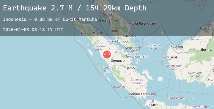
A 2.6 magnitude earthquake struck on Northern Sumatra, Indonesia, at Sat, 03 Jan 2026 08:18:17 GMT. Depth: 155.511444km. Reviewed by BMKG seismologists, this minor quake occurred at a magnitude type of M.
Magnitude
2.6
M
Source
BMKG
Intensity
-
Agency Reports
1 Sources| Source | Magnitude | Depth | Time |
|---|---|---|---|
| BMKGPrimary | 2.6 | 156 km | 3 days ago |
Earthquake Details
AutomaticEvent IDbmg2026aehl
Tsunami PotentialNo
Magnitude TypeM
Nearest Places
- Bukit Mantuha0.9 km
- Nagari Koto Rajo3.7 km
- Bukit Malancar4.2 km
- Bukit Rumbayan5.6 km
- Koto Rajo5.7 km
Comments
Join the discussion about this event.
Latest Earthquakes
2.2Mag
6 km WNW of Rotan, Texas
Time3 days ago
Depth1.73 km
SourceUSGS (Automatic)
2.0Mag
SOUTHERN CALIFORNIA
Time3 days ago
Depth7.60 km
SourceSCSN (Automatic)
2.6Mag
135 km E of Chignik, Alaska
Time3 days ago
Depth76.90 km
SourceUSGS (Automatic)
0.7Mag
62 km E of Port Alsworth, Alaska
Time3 days ago
Depth5.00 km
SourceUSGS (Automatic)
2.2Mag
PUERTO RICO
Time3 days ago
Depth12.40 km
SourcePR (Automatic)
Nearby Earthquakes
No significant earthquakes nearby recently.