Earthquake South of Bali, Indonesia
Sat, 03 Jan 2026 17:12:09 GMT
Time4 days ago
Location
-9.3212, 115.7361
Depth
45.6 KM
Event Summary
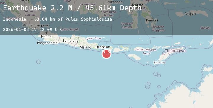
A 2.2 magnitude earthquake struck on South of Bali, Indonesia, at Sat, 03 Jan 2026 17:12:09 GMT. Depth: 45.608261km. Reviewed by BMKG seismologists, this minor quake occurred at a magnitude type of M.
Magnitude
2.2
M
Source
BMKG
Intensity
-
Agency Reports
1 Sources| Source | Magnitude | Depth | Time |
|---|---|---|---|
| BMKGPrimary | 2.2 | 46 km | 4 days ago |
Earthquake Details
AutomaticEvent IDbmg2026aezb
Tsunami PotentialNo
Magnitude TypeM
Nearest Places
- Pulau Sophialouisa53.0 km
- Gili Sarangburung54.8 km
- Gili Luah55.2 km
- Gili Loangberayun55.6 km
- Tanjung Batujonggat56.0 km
Comments
Join the discussion about this event.
Latest Earthquakes
4.1Mag
NEPAL-INDIA BORDER REGION
Time4 days ago
Depth51.00 km
SourceNSC (Automatic)
1.6Mag
58 km SSW of Goldfield, Nevada
Time4 days ago
Depth4.28 km
SourceUSGS (Automatic)
1.7Mag
90 km NW of Yakutat, Alaska
Time4 days ago
Depth17.80 km
SourceUSGS (Automatic)
2.7Mag
ANTOFAGASTA, CHILE
Time4 days ago
Depth118.30 km
SourceCSN (Automatic)
1.7Mag
54 km SE of Naalehu, Hawaii
Time4 days ago
Depth12.55 km
SourceUSGS (Automatic)
Nearby Earthquakes
No significant earthquakes nearby recently.