Earthquake 90 km NW of Yakutat, Alaska
Sat, 03 Jan 2026 16:48:00 GMT
Time3 days ago
Location
60.0230, -141.0420
Depth
17.8 KM
Event Summary
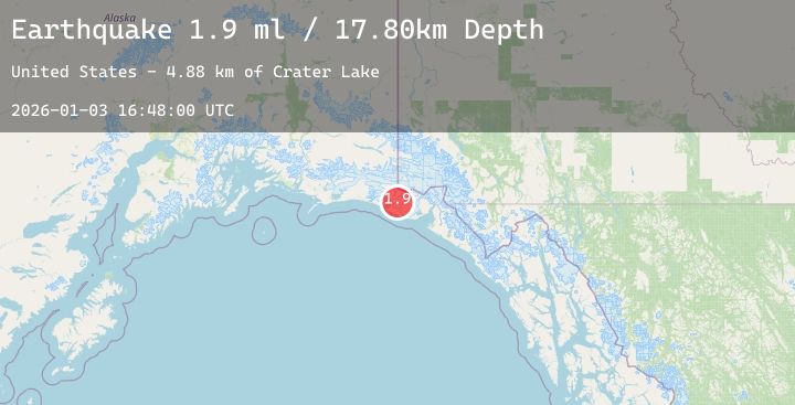
A 1.9 magnitude earthquake struck on 90 km NW of Yakutat, Alaska, at Sat, 03 Jan 2026 16:48:00 GMT. Depth: 17.8km. Reviewed by USGS seismologists, this minor quake occurred at a magnitude type of ml.
Magnitude
1.9
ml
Source
USGS
Intensity
-
Agency Reports
2 Sources| Source | Magnitude | Depth | Time |
|---|---|---|---|
| USGSPrimary | 1.7 | 18 km | 3 days ago |
| USGSPrimary | 1.9 | 11 km | 3 days ago |
Earthquake Details
AutomaticEvent IDusgs_ak2026aeywkm
Tsunami PotentialNo
Magnitude Typeml
Nearest Places
- Crater Lake4.9 km
- Chaix Hills5.5 km
- Lake Caetani7.9 km
- Moore Nunatak9.8 km
- Agassiz Lakes12.8 km
Comments
Join the discussion about this event.
Latest Earthquakes
1.1Mag
7 km SSE of Redlands, CA
Time3 days ago
Depth14.75 km
SourceUSGS (Automatic)
1.5Mag
14 km NW of Coyanosa, Texas
Time3 days ago
Depth0.00 km
SourceUSGS (Automatic)
2.0Mag
Flores Region, Indonesia
Time3 days ago
Depth10.00 km
SourceBMKG (Automatic)
2.2Mag
16 km NW of Stanton, Texas
Time3 days ago
Depth3.97 km
SourceUSGS (Automatic)
2.2Mag
Sumba Region, Indonesia
Time3 days ago
Depth22.98 km
SourceBMKG (Automatic)
Nearby Earthquakes
1.6Mag
114 km NW of Yakutat, Alaska
Time3 days ago
Depth15.30 km
SourceUSGS (Automatic)
1.7Mag
77 km NW of Yakutat, Alaska
Time3 days ago
Depth18.60 km
SourceUSGS (Automatic)
3.5Mag
SOUTHERN YUKON TERRITORY, CANADA
Time3 days ago
Depth5.00 km
SourceNEIC (Automatic)
2.3Mag
88 km N of Yakutat, Alaska
Time4 days ago
Depth5.00 km
SourceUSGS (Automatic)
3.0Mag
SOUTHEASTERN ALASKA
Time4 days ago
Depth0.30 km
SourceAK (Automatic)