Earthquake West Papua Region, Indonesia
Sat, 03 Jan 2026 17:20:14 GMT
Time3 days ago
Location
-3.1904, 135.5688
Depth
17.7 KM
Event Summary
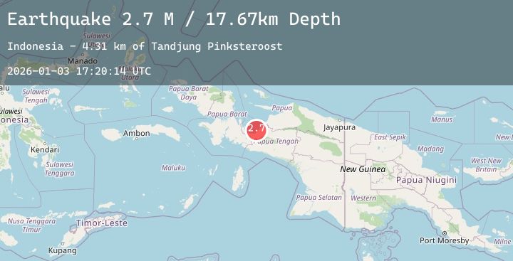
A 2.7 magnitude earthquake struck on West Papua Region, Indonesia, at Sat, 03 Jan 2026 17:20:14 GMT. Depth: 17.671947km. Reviewed by BMKG seismologists, this minor quake occurred at a magnitude type of M.
Magnitude
2.7
M
Source
BMKG
Intensity
-
Agency Reports
1 Sources| Source | Magnitude | Depth | Time |
|---|---|---|---|
| BMKGPrimary | 2.7 | 18 km | 3 days ago |
Earthquake Details
AutomaticEvent IDbmg2026aezi
Tsunami PotentialNo
Magnitude TypeM
Nearest Places
- Tandjung Pinksteroost4.3 km
- Ujung Kimbo6.8 km
- Tanjung Boraitei7.0 km
- Kimi9.6 km
- Kampung Samabusa9.8 km
Comments
Join the discussion about this event.
Latest Earthquakes
2.2Mag
WESTERN TEXAS
Time3 days ago
Depth4.70 km
SourceTX (Automatic)
3.0Mag
OFF E. COAST OF N. ISLAND, N.Z.
Time3 days ago
Depth33.00 km
SourceGNS (Automatic)
2.2Mag
South of Bali, Indonesia
Time3 days ago
Depth45.61 km
SourceBMKG (Automatic)
3.8Mag
NEPAL-INDIA BORDER REGION
Time3 days ago
Depth10.00 km
SourceNDI (Automatic)
3.4Mag
SALTA, ARGENTINA
Time3 days ago
Depth171.00 km
SourceNSNA (Automatic)