Earthquake Sumbawa Region, Indonesia
Sun, 04 Jan 2026 08:33:10 GMT
Time2 days ago
Location
-8.2210, 117.7593
Depth
18.9 KM
Event Summary
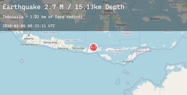
A 2.7 magnitude earthquake struck on Sumbawa Region, Indonesia, at Sun, 04 Jan 2026 08:33:10 GMT. Depth: 18.911869km. Reviewed by BMKG seismologists, this minor quake occurred at a magnitude type of M.
Magnitude
2.7
M
Source
BMKG
Intensity
-
Agency Reports
1 Sources| Source | Magnitude | Depth | Time |
|---|---|---|---|
| BMKGPrimary | 2.7 | 19 km | 2 days ago |
Earthquake Details
AutomaticEvent IDbmg2026agdl
Tsunami PotentialNo
Magnitude TypeM
Nearest Places
- Papekat0.9 km
- Doro Kadindi1.2 km
- Doro Kedindi1.3 km
- Doro Batu2.0 km
- Latonda Dua2.6 km
Comments
Join the discussion about this event.
Latest Earthquakes
1.0Mag
103 km SE of McCarthy, Alaska
Time2 days ago
Depth14.90 km
SourceUSGS (Automatic)
2.9Mag
Southern Sumatra, Indonesia
Time2 days ago
Depth9.57 km
SourceBMKG (Automatic)
2.4Mag
PUERTO RICO REGION
Time2 days ago
Depth10.00 km
SourcePR (Automatic)
1.1Mag
6 km NW of The Geysers, CA
Time2 days ago
Depth2.83 km
SourceUSGS (Automatic)
1.6Mag
STRAIT OF GIBRALTAR
Time2 days ago
Depth0.00 km
SourceIGN (Automatic)
Nearby Earthquakes
2.3Mag
Sumbawa Region, Indonesia
Time3 days ago
Depth20.94 km
SourceBMKG (Automatic)
2.5Mag
Sumbawa Region, Indonesia
Time3 days ago
Depth18.89 km
SourceBMKG (Automatic)
2.0Mag
Sumbawa Region, Indonesia
Time3 days ago
Depth24.01 km
SourceBMKG (Automatic)
2.0Mag
Bali Sea
Time3 days ago
Depth10.00 km
SourceBMKG (Automatic)