Earthquake Bali Sea
Sat, 03 Jan 2026 13:34:26 GMT
Time3 days ago
Location
-7.6960, 117.7844
Depth
10.0 KM
Event Summary
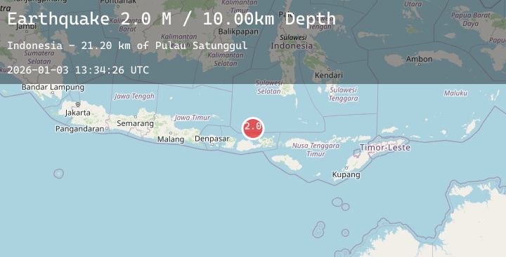
A 2.0 magnitude earthquake struck on Bali Sea, at Sat, 03 Jan 2026 13:34:26 GMT. Depth: 10km. Reviewed by BMKG seismologists, this minor quake occurred at a magnitude type of M.
Magnitude
2.0
M
Source
BMKG
Intensity
-
Agency Reports
1 Sources| Source | Magnitude | Depth | Time |
|---|---|---|---|
| BMKGPrimary | 2.0 | 10 km | 3 days ago |
Earthquake Details
AutomaticEvent IDbmg2026aerw
Tsunami PotentialNo
Magnitude TypeM
Nearest Places
- Pulau Satunggul21.2 km
- Karang Satunggul28.1 km
- Pulau Sapinggang28.8 km
- Pulau Kawasang29.1 km
- Pulau Aloang33.0 km
Comments
Join the discussion about this event.
Latest Earthquakes
3.2Mag
LUZON, PHILIPPINES
Time3 days ago
Depth34.00 km
SourcePIVS (Automatic)
3.4Mag
Minahassa Peninsula, Sulawesi
Time3 days ago
Depth12.07 km
SourceBMKG (Automatic)
2.5Mag
Southern Sumatra, Indonesia
Time3 days ago
Depth106.54 km
SourceBMKG (Automatic)
3.0Mag
Near North Coast of West Papua
Time3 days ago
Depth48.93 km
SourceBMKG (Automatic)
4.7Mag
NORTHERN COLOMBIA
Time3 days ago
Depth144.10 km
SourceGFZ (Automatic)
Nearby Earthquakes
2.4Mag
Sumbawa Region, Indonesia
Time3 days ago
Depth13.58 km
SourceBMKG (Automatic)
2.4Mag
Bali Sea
Time4 days ago
Depth11.04 km
SourceBMKG (Automatic)
2.1Mag
Bali Sea
Time4 days ago
Depth126.39 km
SourceBMKG (Automatic)
2.1Mag
Bali Sea
Time4 days ago
Depth11.11 km
SourceBMKG (Automatic)
2.2Mag
Sumbawa Region, Indonesia
Time4 days ago
Depth23.77 km
SourceBMKG (Automatic)