Earthquake Southern Sumatra, Indonesia
Mon, 05 Jan 2026 01:05:35 GMT
Time2 days ago
Location
-5.4098, 104.6448
Depth
10.9 KM
Event Summary
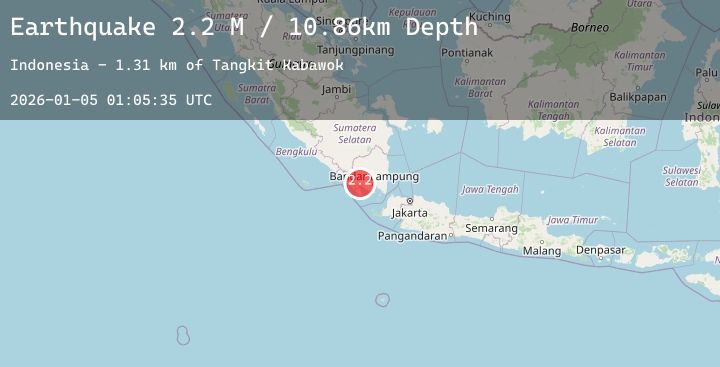
A 2.2 magnitude earthquake struck on Southern Sumatra, Indonesia, at Mon, 05 Jan 2026 01:05:35 GMT. Depth: 10.863034km. Reviewed by BMKG seismologists, this minor quake occurred at a magnitude type of M.
Magnitude
2.2
M
Source
BMKG
Intensity
-
Agency Reports
1 Sources| Source | Magnitude | Depth | Time |
|---|---|---|---|
| BMKGPrimary | 2.2 | 11 km | 2 days ago |
Earthquake Details
AutomaticEvent IDbmg2026ahke
Tsunami PotentialNo
Magnitude TypeM
Nearest Places
- Tangkit Kabawok1.3 km
- Desa Talang Beringin1.5 km
- Pematang Nebak2.6 km
- Desa Pananggungan2.7 km
- Desa Benteng Jaya3.6 km
Comments
Join the discussion about this event.
Latest Earthquakes
2.3Mag
51 km WSW of Nanwalek, Alaska
Time2 days ago
Depth70.70 km
SourceUSGS (Automatic)
5.4Mag
EASTERN NEW GUINEA REG., P.N.G.
Time2 days ago
Depth177.80 km
SourceNEIC (Automatic)
2.7Mag
Java, Indonesia
Time2 days ago
Depth27.26 km
SourceBMKG (Automatic)
4.5Mag
Southwest of Sumatra, Indonesia
Time2 days ago
Depth10.00 km
SourceBMKG (Automatic)
0.8Mag
EASTERN TURKEY
Time2 days ago
Depth7.10 km
SourceAFAD (Automatic)
Nearby Earthquakes
No significant earthquakes nearby recently.