Earthquake 51 km WSW of Nanwalek, Alaska
Mon, 05 Jan 2026 01:04:27 GMT
Time2 days ago
Location
59.2450, -152.7920
Depth
70.7 KM
Event Summary
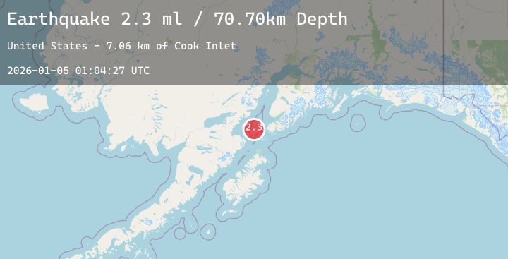
A 2.3 magnitude earthquake struck on 51 km WSW of Nanwalek, Alaska, at Mon, 05 Jan 2026 01:04:27 GMT. Depth: 70.7km. Reviewed by USGS seismologists, this minor quake occurred at a magnitude type of ml.
Magnitude
2.3
ml
Source
USGS
Intensity
-
Agency Reports
1 Sources| Source | Magnitude | Depth | Time |
|---|---|---|---|
| USGSPrimary | 2.3 | 71 km | 2 days ago |
Earthquake Details
AutomaticEvent IDusgs_ak2026ahlbbj
Tsunami PotentialNo
Magnitude Typeml
Nearest Places
- Cook Inlet7.0 km
- Jakolof Bay28.7 km
- Augustine Rocks33.0 km
- Augustine Volcano38.6 km
- Augustine Island39.5 km
Comments
Join the discussion about this event.
Latest Earthquakes
5.4Mag
EASTERN NEW GUINEA REG., P.N.G.
Time2 days ago
Depth177.80 km
SourceNEIC (Automatic)
2.7Mag
Java, Indonesia
Time2 days ago
Depth27.26 km
SourceBMKG (Automatic)
4.5Mag
Southwest of Sumatra, Indonesia
Time2 days ago
Depth10.00 km
SourceBMKG (Automatic)
0.8Mag
EASTERN TURKEY
Time2 days ago
Depth7.10 km
SourceAFAD (Automatic)
1.5Mag
WESTERN TURKEY
Time2 days ago
Depth7.50 km
SourceAFAD (Automatic)