Earthquake Near North Coast of West Papua
Mon, 05 Jan 2026 13:03:22 GMT
Time4 days ago
Location
-2.1383, 140.3619
Depth
10.0 KM
Event Summary
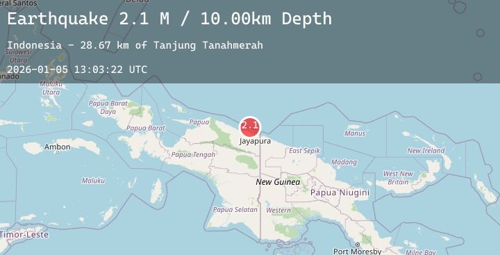
A 2.1 magnitude earthquake struck on Near North Coast of West Papua, at Mon, 05 Jan 2026 13:03:22 GMT. Depth: 10km. Reviewed by BMKG seismologists, this minor quake occurred at a magnitude type of M.
Magnitude
2.1
M
Source
BMKG
Intensity
-
Agency Reports
1 Sources| Source | Magnitude | Depth | Time |
|---|---|---|---|
| BMKGPrimary | 2.1 | 10 km | 4 days ago |
Earthquake Details
AutomaticEvent IDbmg2026aihw
Tsunami PotentialNo
Magnitude TypeM
Nearest Places
- Tanjung Tanahmerah28.6 km
- Jafase29.4 km
- Salean Segara29.6 km
- Yaona31.0 km
- Tanjung Handimoko31.7 km
Comments
Join the discussion about this event.
Latest Earthquakes
2.4Mag
14 km SSE of Susitna North, Alaska
Time4 days ago
Depth34.10 km
SourceUSGS (Automatic)
2.6Mag
Sumba Region, Indonesia
Time4 days ago
Depth15.17 km
SourceBMKG (Automatic)
1.7Mag
13 km SW of Searles Valley, CA
Time4 days ago
Depth7.28 km
SourceUSGS (Automatic)
2.8Mag
Sulawesi, Indonesia
Time4 days ago
Depth10.95 km
SourceBMKG (Automatic)
1.9Mag
7 km S of Muir Beach, CA
Time4 days ago
Depth6.44 km
SourceUSGS (Automatic)