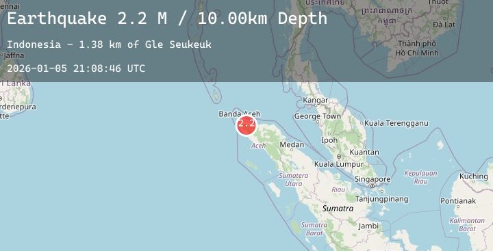
Earthquake Northern Sumatra, Indonesia
Mon, 05 Jan 2026 21:08:46 GMT
Time3 days ago
Location
5.1493, 95.7635
Depth
10.0 KM
Event Summary
A 2.2 magnitude earthquake struck on Northern Sumatra, Indonesia, at Mon, 05 Jan 2026 21:08:46 GMT. Depth: 10km. Reviewed by BMKG seismologists, this minor quake occurred at a magnitude type of M.
Magnitude
2.2
M
Source
BMKG
Intensity
-
Agency Reports
1 Sources| Source | Magnitude | Depth | Time |
|---|---|---|---|
| BMKGPrimary | 2.2 | 10 km | 3 days ago |
Earthquake Details
AutomaticEvent IDbmg2026aixw
Tsunami PotentialNo
Magnitude TypeM
Nearest Places
- Gampong Suka Tani4.1 km
- Seuneulombadeue4.3 km
- Gle Suku4.4 km
- Gunung Geulanggang6.5 km
- Cot Mancang7.4 km
Comments
Join the discussion about this event.
Latest Earthquakes
2.4Mag
Java, Indonesia
Time3 days ago
Depth31.14 km
SourceBMKG (Automatic)
3.2Mag
South of Java, Indonesia
Time3 days ago
Depth10.00 km
SourceBMKG (Automatic)
2.9Mag
27 km NNW of San Juan, Puerto Rico
Time3 days ago
Depth57.67 km
SourceUSGS
1.5Mag
WESTERN TURKEY
Time3 days ago
Depth13.00 km
SourceEMSC (Automatic)
2.5Mag
Seram, Indonesia
Time3 days ago
Depth1.00 km
SourceBMKG (Automatic)