Earthquake Bali Region, Indonesia
Tue, 06 Jan 2026 05:22:45 GMT
Time1 day ago
Location
-8.5149, 115.7944
Depth
28.4 KM
Event Summary
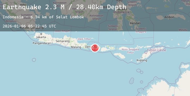
A 2.3 magnitude earthquake struck on Bali Region, Indonesia, at Tue, 06 Jan 2026 05:22:45 GMT. Depth: 28.399336km. Reviewed by BMKG seismologists, this minor quake occurred at a magnitude type of M.
Magnitude
2.3
M
Source
BMKG
Intensity
-
Agency Reports
1 Sources| Source | Magnitude | Depth | Time |
|---|---|---|---|
| BMKGPrimary | 2.3 | 28 km | 1 day ago |
Earthquake Details
AutomaticEvent IDbmg2026ajoe
Tsunami PotentialNo
Magnitude TypeM
Nearest Places
- Selat Lombok6.3 km
- Tanjung Karangasem13.7 km
- Tukad Buah14.9 km
- Tukad Item14.9 km
- Tukad Belong15.0 km
Comments
Join the discussion about this event.
Latest Earthquakes
0.7Mag
5 km NNW of The Geysers, CA
Time1 day ago
Depth1.33 km
SourceUSGS (Automatic)
2.7Mag
SAN JUAN, ARGENTINA
Time1 day ago
Depth99.00 km
SourceNSNA (Automatic)
1.6Mag
24 km ENE of San Ardo, CA
Time1 day ago
Depth-0.66 km
SourceUSGS (Automatic)
2.6Mag
AEGEAN SEA
Time1 day ago
Depth5.40 km
SourceKOERI (Automatic)
2.6Mag
Sulawesi, Indonesia
Time1 day ago
Depth1.04 km
SourceBMKG (Automatic)
Nearby Earthquakes
2.0Mag
Bali Region, Indonesia
Time1 day ago
Depth31.40 km
SourceBMKG (Automatic)
2.5Mag
South of Bali, Indonesia
Time1 day ago
Depth25.47 km
SourceBMKG (Automatic)
2.8Mag
Bali Region, Indonesia
Time1 day ago
Depth35.51 km
SourceBMKG (Automatic)
2.1Mag
Bali Region, Indonesia
Time2 days ago
Depth10.00 km
SourceBMKG (Automatic)