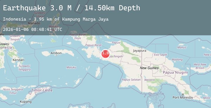
Earthquake West Papua Region, Indonesia
Tue, 06 Jan 2026 08:48:41 GMT
Time1 day ago
Location
-3.4519, 135.5441
Depth
11.9 KM
Event Summary
A 2.8 magnitude earthquake struck on West Papua Region, Indonesia, at Tue, 06 Jan 2026 08:48:41 GMT. Depth: 11.87781km. Reviewed by BMKG seismologists, this minor quake occurred at a magnitude type of M.
Magnitude
2.8
M
Source
BMKG
Intensity
-
Agency Reports
1 Sources| Source | Magnitude | Depth | Time |
|---|---|---|---|
| BMKGPrimary | 2.8 | 12 km | 1 day ago |
Earthquake Details
AutomaticEvent IDbmg2026ajuy
Tsunami PotentialNo
Magnitude TypeM
Nearest Places
- Kampung Marga Jaya3.8 km
- Kelurahan Girimulyo4.7 km
- Kampung Gerbang Sadu5.6 km
- Kampung Kali Harapan6.7 km
- Kampung Topo7.2 km
Comments
Join the discussion about this event.
Latest Earthquakes
3.8Mag
Banda Sea
Time1 day ago
Depth181.06 km
SourceBMKG (Automatic)
2.7Mag
Buru, Indonesia
Time1 day ago
Depth5.00 km
SourceBMKG (Automatic)
1.9Mag
SPAIN
Time1 day ago
Depth5.20 km
SourceIGN (Automatic)
3.0Mag
Southern Sumatra, Indonesia
Time1 day ago
Depth118.12 km
SourceBMKG (Automatic)
2.3Mag
17 km W of Anchorage, Alaska
Time1 day ago
Depth39.20 km
SourceUSGS (Automatic)
Nearby Earthquakes
No significant earthquakes nearby recently.