Earthquake 17 km W of Anchorage, Alaska
Tue, 06 Jan 2026 08:16:37 GMT
Time1 day ago
Location
61.2190, -150.2310
Depth
39.2 KM
Event Summary
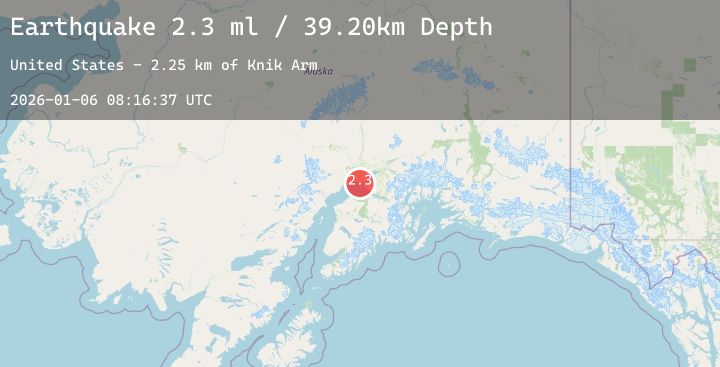
A 2.3 magnitude earthquake struck on 17 km W of Anchorage, Alaska, at Tue, 06 Jan 2026 08:16:37 GMT. Depth: 39.2km. Reviewed by USGS seismologists, this minor quake occurred at a magnitude type of ml.
Magnitude
2.3
ml
Source
USGS
Intensity
-
Agency Reports
1 Sources| Source | Magnitude | Depth | Time |
|---|---|---|---|
| USGSPrimary | 2.3 | 39 km | 1 day ago |
Earthquake Details
AutomaticEvent IDusgs_ak2026ajvcja
Tsunami PotentialNo
Magnitude Typeml
Nearest Places
- Knik Arm2.3 km
- Little Susitna River4.7 km
- Tsaltastnu Kaq'4.8 km
- Race Point Light5.4 km
- Susitna Flats5.6 km
Comments
Join the discussion about this event.
Latest Earthquakes
2.7Mag
Flores Region, Indonesia
Time1 day ago
Depth154.24 km
SourceBMKG (Automatic)
4.1Mag
SOUTHERN ALASKA
Time1 day ago
Depth194.50 km
SourceAK (Automatic)
2.4Mag
Seram, Indonesia
Time1 day ago
Depth4.66 km
SourceBMKG (Automatic)
3.4Mag
SALTA, ARGENTINA
Time1 day ago
Depth185.00 km
SourceNSNA (Automatic)
2.7Mag
Java, Indonesia
Time1 day ago
Depth207.70 km
SourceBMKG (Automatic)
Nearby Earthquakes
2.3Mag
6 km SSE of Point MacKenzie, Alaska
Time1 day ago
Depth38.30 km
SourceUSGS (Automatic)
2.3Mag
19 km ESE of Skwentna, Alaska
Time2 days ago
Depth68.70 km
SourceUSGS (Automatic)
2.4Mag
14 km SSE of Susitna North, Alaska
Time2 days ago
Depth34.10 km
SourceUSGS (Automatic)
1.7Mag
6 km NNW of Meadow Lakes, Alaska
Time2 days ago
Depth34.50 km
SourceUSGS (Automatic)
2.3Mag
17 km NNE of Nikiski, Alaska
Time2 days ago
Depth57.20 km
SourceUSGS (Automatic)