Earthquake Northern Molucca Sea
Wed, 07 Jan 2026 05:27:49 GMT
Time2 days ago
Location
2.4088, 126.1606
Depth
27.8 KM
Event Summary
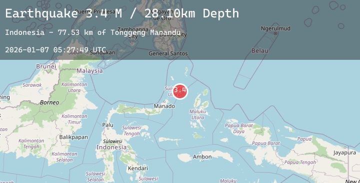
A 3.5 magnitude earthquake struck on Northern Molucca Sea, at Wed, 07 Jan 2026 05:27:49 GMT. Depth: 27.750734km. Reviewed by BMKG seismologists, this minor quake occurred at a magnitude type of M.
Magnitude
3.5
M
Source
BMKG
Intensity
-
Agency Reports
1 Sources| Source | Magnitude | Depth | Time |
|---|---|---|---|
| BMKGPrimary | 3.5 | 28 km | 2 days ago |
Earthquake Details
AutomaticEvent IDbmg2026aljv
Tsunami PotentialNo
Magnitude TypeM
Nearest Places
- Tonggeng Manandu77.5 km
- Teluk Buha77.7 km
- Teluk Palumpungan77.8 km
- Tonggeng Tuwoliang77.8 km
- Saluhi Sikola78.0 km
Comments
Join the discussion about this event.
Latest Earthquakes
1.6Mag
2 km S of Redlands, CA
Time2 days ago
Depth12.88 km
SourceUSGS (Automatic)
3.0Mag
52 km ENE of Ensenada, B.C., MX
Time2 days ago
Depth20.18 km
SourceUSGS (Automatic)
2.3Mag
27 km NNE of Chenega, Alaska
Time2 days ago
Depth13.70 km
SourceUSGS (Automatic)
1.0Mag
11 km ENE of Coalinga, CA
Time2 days ago
Depth12.47 km
SourceUSGS (Automatic)
2.5Mag
West Papua Region, Indonesia
Time2 days ago
Depth23.04 km
SourceBMKG (Automatic)
Nearby Earthquakes
No significant earthquakes nearby recently.