Earthquake Bali Region, Indonesia
Wed, 07 Jan 2026 19:35:40 GMT
Time2 days ago
Location
-8.4464, 115.7831
Depth
34.4 KM
Event Summary
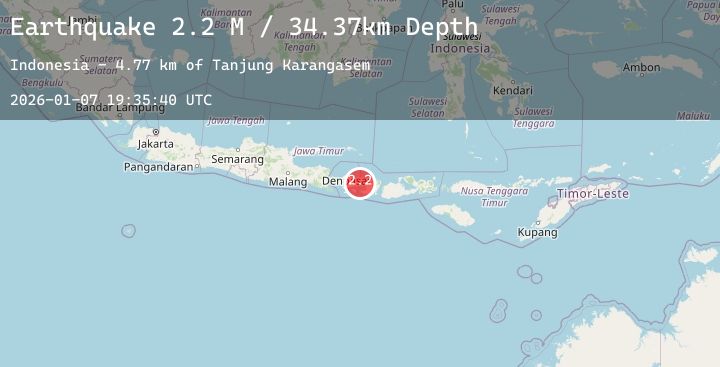
A 2.0 magnitude earthquake struck on Bali Region, Indonesia, at Wed, 07 Jan 2026 19:35:40 GMT. Depth: 34.367752km. Reviewed by BMKG seismologists, this minor quake occurred at a magnitude type of M.
Magnitude
2.0
M
Source
BMKG
Intensity
-
Agency Reports
1 Sources| Source | Magnitude | Depth | Time |
|---|---|---|---|
| BMKGPrimary | 2.0 | 34 km | 2 days ago |
Earthquake Details
AutomaticEvent IDbmg2026amlu
Tsunami PotentialNo
Magnitude TypeM
Nearest Places
- Tanjung Karangasem6.3 km
- Gili Selang9.4 km
- Selat Lombok9.5 km
- Tanahbarak9.8 km
- Tukad Batumanak9.8 km
Comments
Join the discussion about this event.
Latest Earthquakes
2.7Mag
Minahassa Peninsula, Sulawesi
Time2 days ago
Depth65.31 km
SourceBMKG (Automatic)
1.5Mag
8 km W of Templeton, CA
Time2 days ago
Depth5.27 km
SourceUSGS (Automatic)
2.5Mag
Java, Indonesia
Time2 days ago
Depth89.93 km
SourceBMKG (Automatic)
1.0Mag
84 km NNW of Karluk, Alaska
Time2 days ago
Depth5.00 km
SourceUSGS (Automatic)
1.9Mag
CANARY ISLANDS, SPAIN REGION
Time2 days ago
Depth13.80 km
SourceIGN (Automatic)
Nearby Earthquakes
2.4Mag
Bali Region, Indonesia
Time2 days ago
Depth39.28 km
SourceBMKG (Automatic)
2.5Mag
Bali Region, Indonesia
Time2 days ago
Depth19.64 km
SourceBMKG (Automatic)
2.2Mag
Bali Region, Indonesia
Time2 days ago
Depth17.44 km
SourceBMKG (Automatic)
2.3Mag
Bali Region, Indonesia
Time2 days ago
Depth33.59 km
SourceBMKG (Automatic)
2.8Mag
Bali Region, Indonesia
Time2 days ago
Depth40.59 km
SourceBMKG (Automatic)