Earthquake West Papua, Indonesia
Wed, 07 Jan 2026 21:21:07 GMT
Time2 days ago
Location
-2.3263, 137.8888
Depth
59.5 KM
Event Summary
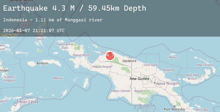
A 4.3 magnitude earthquake struck on West Papua, Indonesia, at Wed, 07 Jan 2026 21:21:07 GMT. Depth: 59.45163km. Reviewed by BMKG seismologists, this light quake occurred at a magnitude type of M.
Magnitude
4.3
M
Source
BMKG
Intensity
-
Agency Reports
2 Sources| Source | Magnitude | Depth | Time |
|---|---|---|---|
| BMKGPrimary | 4.3 | 59 km | 2 days ago |
| BMKGPrimary | 4.4 | 80 km | 2 days ago |
Earthquake Details
AutomaticEvent IDbmg2026amph
Tsunami PotentialNo
Magnitude TypeM
Nearest Places
- Mani river6.9 km
- Manggasi river8.3 km
- Gelder10.9 km
- Kampung Namunaweja12.6 km
- Scholten eiland12.8 km
Comments
Join the discussion about this event.
Latest Earthquakes
2.9Mag
OFFSHORE EL SALVADOR
Time2 days ago
Depth22.00 km
SourceINET (Automatic)
2.0Mag
70 km ESE of Cantwell, Alaska
Time2 days ago
Depth8.70 km
SourceUSGS (Automatic)
1.0Mag
5 km WNW of Anza, CA
Time2 days ago
Depth4.08 km
SourceUSGS (Automatic)
2.4Mag
Minahassa Peninsula, Sulawesi
Time2 days ago
Depth2.72 km
SourceBMKG (Automatic)
3.0Mag
SAN JUAN, ARGENTINA
Time2 days ago
Depth10.00 km
SourceNSNA (Automatic)
Nearby Earthquakes
No significant earthquakes nearby recently.